Area Overview for Fawdon & West Gosforth Ward
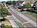
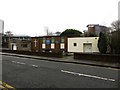
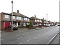
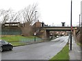
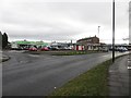
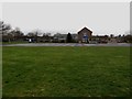
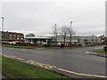
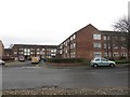
Photos of Fawdon & West Gosforth Ward
Area Information
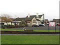
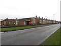
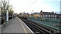
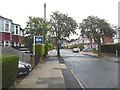
Living in Fawdon & West Gosforth Ward means settling into a compact electoral ward within Newcastle upon Tyne, covering just 2.6 square kilometres. This district lies approximately 3.5 miles north-by-west of the Newcastle City Centre, positioned near the A1 Western Bypass. The area incorporates the historic Fawdon settlements alongside the formerly separate West Gosforth ward. Fawdon itself originated as three colliery villages—High Fawdon, Fawdon Square, and Low Fawdon—before coal mining ceased around 1851. Rawdon House, a historic property built in 1848 and now known as The Northumbrian Piper, stands as a local landmark associated with ghostly legends. The combination of residential history and proximity to major infrastructure defines daily life here. Residents navigate a small neighbourhood where the past intersects with modern living. Whether you are drawn to the quiet proximity of the city or the character of the former mining villages, Fawdon & West Gosforth Ward offers a specific slice of North East England. The location provides a practical base for accessing wider Newcastle facilities while maintaining a distinct local identity rooted in its industrial heritage and later domestic evolution.
- Area Type
- District Borough Unitary Ward
- Area Size
- 2.6 km²
- Population
- Not available
- Population Density
- Not available
Demographics
The community within Fawdon & West Gosforth Ward displays a clear age profile, with a median age of 70 years. This figure indicates a population heavily weighted towards older residents, suggesting a neighbourhood where many families have retired or established long-term roots. The data does not specify the most common age range beyond the total category, but the high median points to a demographic consistent with retirement demographics or long-term stability. House ownership stands at 58%, meaning more than half of the households own their homes outright or with a mortgage. This rate often correlates with older populations purchasing when younger and holding onto property. The ward covers 2.6 square kilometres, creating a relatively dense concentration of dwellings for its size. Ethnically and religiously, the provided information does not break down specific groups, but the age profile dominates the demographic narrative. There is no data on specific household compositions, yet the high ownership rate suggests stability for buyers. Living in Fawdon & West Gosforth Ward implies sharing space with a generation that likely values quiet and security. The area feels established, with a homeownership culture that has built over decades rather than shifting rapidly with younger renters or transient populations.
Household Size
Accommodation Type
Tenure
Ethnic Group
Religion
Household Composition
Age
Household Deprivation
NS-SEC
Explore more demographic insights in this area
Go to Demographics tabPlanning
Planning Constraints
- Flood RiskPremium
- Ramsar Wetland SitesPremium
- Area of Outstanding Natural BeautyPremium
- Protected Nature ReservePremium
- Protected WoodlandPremium
- Crime RiskPremium