Area Overview for Falstone
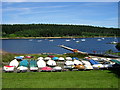
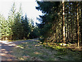
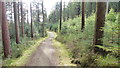
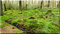
Photos of Falstone
Area Information
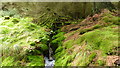
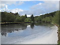
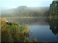
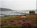
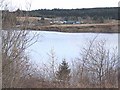
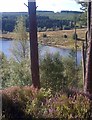
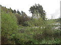
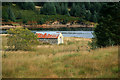
Living in Falstone offers a distinct retreat from urban pace. This civil parish stretches across a substantial 116.4 square kilometres of Northumberland, creating vast open spaces for residents to enjoy. The area functions as a quiet sanctuary where daily life revolves around nature rather than city centres. You find yourself surrounded by expansive land that defines the local character. It is a place where the landscape shapes the rhythm of life. The sheer size of the parish means distances can be significant, making local planning essential for any relocation. Families or individuals seeking a secluded environment will appreciate the scale of this English settlement. Your days are likely to unfold among rolling fields and ancient boundaries. The setting provides ample room for outdoor activities while maintaining a deliberate separation from busy towns. This isolation is a core feature of your potential new home. The area has developed in a way that prioritises space and solitude above high-density living. You must consider how you will access services given the geography. The environment is your primary neighbour here.
- Area Type
- Parish
- Area Size
- 116.4 km²
- Population
- Not available
- Population Density
- Not available
Demographics
The community within Falstone reflects a mature and settled population. The median age stands at 70 years old, indicating a neighbourhood largely inhabited by older residents. This demographic profile suggests a quiet atmosphere with few young families driving school-run traffic. You will encounter a community where long-term residents dominate the landscape. Home ownership is the norm, with 67 per cent of households owning their property outright or with a mortgage. This high rate of ownership signals stability and invested local residents. The data confirms that most accommodation is held by those in ownership rather than renting. Your interactions with neighbours will likely involve people who have called the area home for decades. The household composition and ethnic diversity metrics are represented in the total category, reflecting the broad nature of the census data for this spacious parish. You can expect a homogenous society built on tradition. The age distribution heavily favours the senior demographic, creating a specific social dynamic. Your potential lifestyle will align with a slower pace of life typical of older communities.
Household Size
Accommodation Type
Tenure
Ethnic Group
Religion
Household Composition
Age
Household Deprivation
NS-SEC
Explore more demographic insights in this area
Go to Demographics tabPlanning
Planning Constraints
- Flood RiskPremium
- Ramsar Wetland SitesPremium
- Area of Outstanding Natural BeautyPremium
- Protected Nature ReservePremium
- Crime RiskPremium