Area Overview for Eaglescliffe West Ward
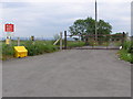
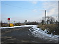
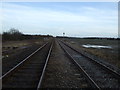
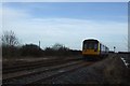
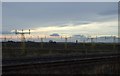
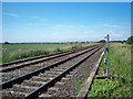
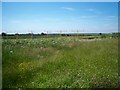
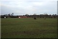
Photos of Eaglescliffe West Ward

Area Information
Living in Eaglescliffe West Ward offers a defined locale within the greater Stockton-on-Tees Borough Council area, situated in the North East of England. This district covers a substantial expanse of 40.1 km², providing residents with significant land area near coordinates 54.527°N, -1.400°W. The ward functions as a unitary authority section, meaning it operates under specific local governance structures within the broader regional framework. For those researching homes in Eaglescliffe West Ward, the physical scale of the area suggests a mix of residential density and open space, typical of North East England settlements. The location sits at a precise geographic point, placing it firmly within the established boundaries of the Stockton-on-Tees borough. You are looking at an area that combines rural characteristics with village infrastructure. The sheer size of 40.1 square kilometres means that distance between points can vary, so planning commutes requires careful route selection. While specific satellite towns are not named in the core data, the area's position in the North East defines its regional character.
- Area Type
- District Borough Unitary Ward
- Area Size
- 40.1 km²
- Population
- Not available
- Population Density
- Not available
Demographics
The community within Eaglescliffe West Ward is distinguished by an exceptionally mature population profile. The median age of residents reaches 70 years old, indicating that the area is predominantly inhabited by older adults rather than families with young children or teenagers. This demographic reality shapes the character of daily life, creating a neighbourhood where the social fabric revolves around the needs and interests of the elderly. Your experience living in Eaglescliffe West Ward will likely reflect this stable, senior-focused community. Unlike areas with a broad age range, the concentration of people in higher age brackets suggests a quieter, perhaps more settled environment. The data identifies "Age: Total" as the most common age range category, reinforcing that population growth from younger generations is not a primary driver here. Understanding this age structure is vital when envisioning your time in the ward, as local amenities and activities cater to this older demographic.
Household Size
Accommodation Type
Tenure
Ethnic Group
Religion
Household Composition
Age
Household Deprivation
NS-SEC
Explore more demographic insights in this area
Go to Demographics tabPlanning
Planning Constraints
- Flood RiskPremium
- Ramsar Wetland SitesPremium
- Area of Outstanding Natural BeautyPremium
- Protected Nature ReservePremium
- Protected WoodlandPremium