Area Overview for DL2 2AU
Photos of DL2 2AU
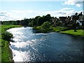
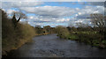
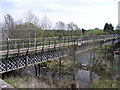
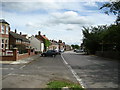
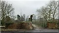
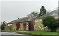
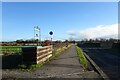
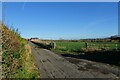
22 photos from this area
Area Information
Key information about the DL2 2AU including its size, population, and administrative classification.
- Area Type
- Postcode
- Area Size
- 1.9 hectares
- Population
- 2149
- Population Density
- 105 people/km²
House Prices in DL2 2AU
35
Properties
£109,689
Average Sold Price
£17,640
Lowest Price
£162,000
Highest Price
Showing 35 properties
| Address | Type | Beds | Baths | Last Sale Price | Last Sale Date | |
|---|---|---|---|---|---|---|
| 9 Sanderson Road, Hurworth, DL2 2AU | Terraced | 3 | 1 | £155,000 | Jul 2023 | |
| 1 Sanderson Road, Hurworth, DL2 2AU | Terraced | 4 | - | £100,000 | Jan 2023 | |
| 11 Sanderson Road, Hurworth, DL2 2AU | house | - | - | £162,000 | Mar 2020 | |
| 31 Sanderson Road, Hurworth, DL2 2AU | house | - | - | £118,000 | Mar 2017 | |
| 35 Sanderson Road, Hurworth, DL2 2AU | Terraced | 3 | 1 | £135,000 | Sep 2014 | |
| 14 Sanderson Road, Hurworth, DL2 2AU | house | - | - | £105,000 | Apr 2013 | |
| 45 Sanderson Road, Hurworth, DL2 2AU | house | 3 | - | £135,000 | Dec 2011 | |
| 23 Sanderson Road, Hurworth, DL2 2AU | Terraced | - | - | £157,500 | May 2008 | |
| 24 Sanderson Road, Hurworth, DL2 2AU | Terraced | 3 | 1 | £153,000 | Mar 2008 | |
| 12 Sanderson Road, Hurworth, DL2 2AU | house | - | - | £128,000 | Jan 2007 |
Page 1 of 4
Energy Efficiency in DL2 2AU
Amenities
Schools
| Rank | School | Type | Entry gender | Ages |
|---|
Explore more schools in this area
Go to Schools tabDemographics
Household Size
Two person
most common
Accommodation Type
Houses
most common
Tenure
70
majority
Ethnic Group
White
most common
Religion
N/A
most common
Household Composition
N/A
most common
Age
47
median
Adults (30-64 years)
most common
Household Deprivation
N/A
with no deprivation
NS-SEC
36
in Lower managerial occupations
Explore more demographic insights in this area
Go to Demographics tabPlanning
Planning Constraints
- Flood RiskPremium
- Ramsar Wetland SitesPremium
- Area of Outstanding Natural BeautyPremium
- Protected Nature ReservePremium
- Protected WoodlandPremium