Area Overview for DL16 6XP
Photos of DL16 6XP
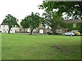
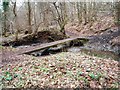
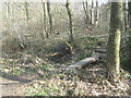
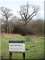


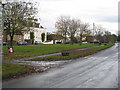
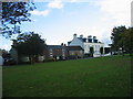
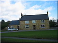
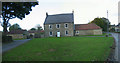
14 photos from this area
Area Information
Key information about the DL16 6XP including its size, population, and administrative classification.
- Area Type
- Postcode
- Area Size
- 5.5 hectares
- Population
- 1618
- Population Density
- 569 people/km²
House Prices in DL16 6XP
22
Properties
£142,548
Average Sold Price
£44,000
Lowest Price
£252,000
Highest Price
Showing 22 properties
| Address | Type | Beds | Baths | Last Sale Price | Last Sale Date | |
|---|---|---|---|---|---|---|
| 5 Glastonbury Close, Spennymoor, DL16 6XP | house | - | - | £252,000 | Mar 2025 | |
| 17 Glastonbury Close, Spennymoor, DL16 6XP | Detached | 3 | 2 | £239,950 | Sep 2023 | |
| 22 Glastonbury Close, Spennymoor, DL16 6XP | house | - | - | £157,250 | May 2019 | |
| 23 Glastonbury Close, Spennymoor, DL16 6XP | Detached | 3 | 1 | £145,000 | Jul 2018 | |
| 12 Glastonbury Close, Spennymoor, DL16 6XP | house | - | - | £145,000 | Apr 2016 | |
| 15 Glastonbury Close, Spennymoor, DL16 6XP | Detached | 4 | 2 | £186,000 | Apr 2015 | |
| 2 Glastonbury Close, Spennymoor, DL16 6XP | Detached | 4 | 1 | £178,500 | Apr 2012 | |
| 10 Glastonbury Close, Spennymoor, DL16 6XP | house | 4 | - | £168,000 | Jul 2011 | |
| 20 Glastonbury Close, Spennymoor, DL16 6XP | Flat | - | - | £160,075 | Jun 2008 | |
| 16 Glastonbury Close, Spennymoor, DL16 6XP | house | - | - | £44,000 | Oct 2006 |
Page 1 of 3
Energy Efficiency in DL16 6XP
Amenities
Schools
| Rank | School | Type | Entry gender | Ages |
|---|
Explore more schools in this area
Go to Schools tabDemographics
Household Size
One person
most common
Accommodation Type
Houses
most common
Tenure
58
majority
Ethnic Group
White
most common
Religion
N/A
most common
Household Composition
N/A
most common
Age
47
median
Adults (30-64 years)
most common
Household Deprivation
N/A
with no deprivation
NS-SEC
29
in Lower managerial occupations
Explore more demographic insights in this area
Go to Demographics tabPlanning
Planning Constraints
- Flood RiskPremium
- Ramsar Wetland SitesPremium
- Area of Outstanding Natural BeautyPremium
- Protected Nature ReservePremium
- Protected WoodlandPremium