Area Overview for DL15 8ES
Photos of DL15 8ES
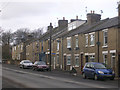
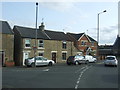
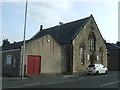
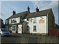
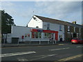
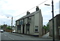
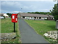
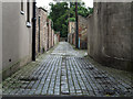
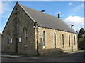
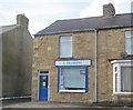
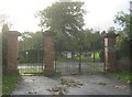
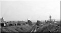
18 photos from this area
Area Information
Key information about the DL15 8ES including its size, population, and administrative classification.
- Area Type
- Postcode
- Area Size
- 17.9 hectares
- Population
- 1890
- Population Density
- 158 people/km²
House Prices in DL15 8ES
16
Properties
£186,000
Average Sold Price
£58,000
Lowest Price
£335,000
Highest Price
Showing 16 properties
| Address | Type | Beds | Baths | Last Sale Price | Last Sale Date | |
|---|---|---|---|---|---|---|
| West View, 26 Bridge Street, Howden Le Wear, DL15 8ES | Semi-detached | 2 | 1 | £58,000 | May 2025 | |
| Green Acres, Bridge Street, Howden Le Wear, DL15 8ES | Bungalow | 4 | 3 | £335,000 | Nov 2022 | |
| West View, 25 Bridge Street, Howden Le Wear, DL15 8ES | house | 2 | - | £165,000 | Feb 2021 | |
| Beechburn House, Bridge Street, Howden Le Wear, DL15 8ES | Detached | 4 | 3 | - | - | |
| Wistaria House, Bridge Street, Howden Le Wear, DL15 8ES | Terraced | 2 | 1 | - | - | |
| Weat View, 27-28 Bridge Street, Howden Le Wear, DL15 8ES | Terraced | - | - | - | - | |
| Spar, Bridge End Garage, Bridge Street, Howden Le Wear, DL15 8ES | shop | - | - | - | - | |
| The Nook, Bridge Street, Howden Le Wear, DL15 8ES | Detached | - | - | - | - | |
| West View, 27-28 Bridge Street, Howden Le Wear, DL15 8ES | house | - | - | - | - | |
| Hampden House, Bridge Street, Howden Le Wear, DL15 8ES | Terraced | - | - | - | - |
Page 1 of 2
Energy Efficiency in DL15 8ES
Amenities
Schools
| Rank | School | Type | Entry gender | Ages |
|---|
Explore more schools in this area
Go to Schools tabDemographics
Household Size
Two person
most common
Accommodation Type
Houses
most common
Tenure
79
majority
Ethnic Group
White
most common
Religion
N/A
most common
Household Composition
N/A
most common
Age
47
median
Adults (30-64 years)
most common
Household Deprivation
N/A
with no deprivation
NS-SEC
32
in Lower managerial occupations
Explore more demographic insights in this area
Go to Demographics tabPlanning
Planning Constraints
- Flood RiskPremium
- Ramsar Wetland SitesPremium
- Area of Outstanding Natural BeautyPremium
- Protected Nature ReservePremium
- Protected WoodlandPremium