Area Overview for DL14 9BA
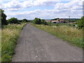
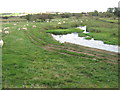
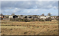
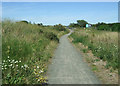
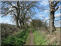
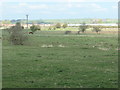
Photos of DL14 9BA


Area Information
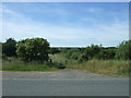
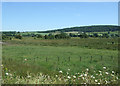
Living in DL14 9BA means inhabiting a small, tightly knit residential cluster in England’s northeast, where the population of 1711 residents is spread across a compact area with a density of 515 people per square kilometre. This postcode area is characterised by its modest scale, offering a quiet, localised feel rather than the sprawl of larger towns. The community here is predominantly composed of adults aged 30–64, reflecting a mature demographic with established roots. With 70% of homes owner-occupied, the area exudes a sense of stability, though its small size means proximity to amenities and transport is key. Daily life is shaped by the surrounding infrastructure, including nearby rail links and retail hubs. While DL14 9BA lacks the vibrancy of a bustling urban centre, its simplicity and accessibility to Bishop Auckland and surrounding areas make it a practical choice for those prioritising convenience over city life. The area’s low flood risk and absence of protected natural sites suggest a straightforward living environment, though residents should be mindful of the high crime risk noted in local assessments.
- Area Type
- Postcode
- Area Size
- Not available
- Population
- 1711
- Population Density
- 515 people/km²
The property market in DL14 9BA is defined by its 70% home ownership rate and a predominance of houses over flats, indicating a market skewed towards owner-occupied, family-sized homes. This suggests a lack of high-density housing, which may limit options for renters or those seeking smaller properties. The area’s compact nature means the housing stock is likely limited, with few new developments to expand the market. Buyers should consider the proximity to nearby amenities, such as Bishop Auckland’s retail and rail links, which may influence property value. Given the high home ownership rate, the area is unlikely to be a hotspot for speculative investment, instead appealing to those prioritising long-term residency. However, the small postcode area’s immediate surroundings may offer more varied options, though data on nearby properties is not specified.
House Prices in DL14 9BA
No properties found in this postcode.
Energy Efficiency in DL14 9BA
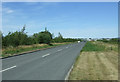
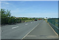
DL14 9BA’s residents have access to nearby retail hubs such as Tesco Bishop, Sainsburys Bishop, and M&S Bishop Auckland, providing everyday shopping convenience within practical reach. The area’s rail network, including Bishop Auckland West Weardale and Shildon stations, offers direct links to Bishop Auckland and beyond, facilitating both commuting and leisure travel. While the postcode’s small size limits the presence of large parks or cultural venues, the proximity to Bishop Auckland likely extends lifestyle options. The retail and transport infrastructure suggests a functional, community-focused lifestyle, where daily needs are met locally while regional opportunities remain accessible. This balance of practicality and connectivity makes DL14 9BA suitable for those prioritising ease of access over expansive recreational spaces.
Amenities
Schools
| Rank | School | Type | Entry gender | Ages |
|---|
Explore more schools in this area
Go to Schools tabDemographics
DL14 9BA’s population is predominantly adults aged 30–64, with a median age of 47 that reflects a mature, settled community. The area’s 70% home ownership rate underscores a strong presence of long-term residents, many of whom live in houses rather than flats. This suggests a preference for family-friendly or semi-detached housing, which aligns with the age profile of working professionals and older families. The predominant ethnic group is White, though no specific diversity statistics are provided. The absence of data on deprivation or socioeconomic breakdown means the area’s quality of life cannot be fully contextualised, but the high home ownership rate and stable age distribution indicate a community focused on stability rather than transient living. With no mention of rental properties or younger demographics, DL14 9BA appears to cater to those seeking a low-maintenance, established environment over dynamic, evolving neighbourhoods.
Household Size
Accommodation Type
Tenure
Ethnic Group
Religion
Household Composition
Age
Household Deprivation
NS-SEC
Explore more demographic insights in this area
Go to Demographics tabPlanning
Planning Constraints
- Flood RiskPremium
- Ramsar Wetland SitesPremium
- Area of Outstanding Natural BeautyPremium
- Protected Nature ReservePremium
- Protected WoodlandPremium