Area Overview for DL13 3PS
Photos of DL13 3PS
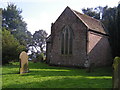
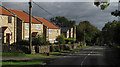

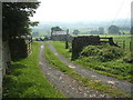

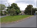
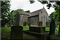
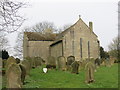
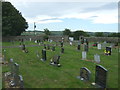
29 photos from this area
Area Information
Key information about the DL13 3PS including its size, population, and administrative classification.
- Area Type
- Postcode
- Area Size
- 7482 m²
- Population
- 2107
- Population Density
- 24 people/km²
House Prices in DL13 3PS
9
Properties
£166,917
Average Sold Price
£77,000
Lowest Price
£229,500
Highest Price
Showing 9 properties
| Address | Type | Beds | Baths | Last Sale Price | Last Sale Date | |
|---|---|---|---|---|---|---|
| Lydgate Cottage, C 31 From C 30 Harada Cottage Junc To A 68 Junc, Hamsterley, DL13 3PS | Bungalow | - | - | £229,500 | Mar 2023 | |
| Willow Cottage, Road Adjacent To Hollin Hill, Hamsterley, DL13 3PS | house | - | - | £185,000 | Dec 2010 | |
| Hillcrest, Butwell Terrace, Hamsterley, DL13 3PS | Bungalow | 3 | 1 | £220,000 | Oct 2006 | |
| West View, Butwell Terrace, Hamsterley, DL13 3PS | Terraced | - | - | £160,000 | Sep 2005 | |
| Hollinside, C 31 From Windy Bank Road Junc To C 30 Bedburn Road Junc, Hamsterley, DL13 3PS | Terraced | - | - | £130,000 | Jun 2002 | |
| Harada Cottage, C 31 From C 30 Harada Cottage Junc To A 68 Junc, Hamsterley, DL13 3PS | house | 3 | - | £77,000 | Mar 1998 | |
| 2 Butwell Terrace, Hamsterley, DL13 3PS | Cottage | 3 | 2 | - | - | |
| 3 Butwell Terrace, Hamsterley, DL13 3PS | Cottage | 2 | 1 | - | - | |
| Darien House, C 30 From C 31 Junc To Unc 33.8 Junc, Hamsterley, DL13 3PS | house | - | - | - | - |
Energy Efficiency in DL13 3PS
Amenities
Schools
| Rank | School | Type | Entry gender | Ages |
|---|
Explore more schools in this area
Go to Schools tabDemographics
Household Size
Two person
most common
Accommodation Type
Houses
most common
Tenure
74
majority
Ethnic Group
White
most common
Religion
N/A
most common
Household Composition
N/A
most common
Age
47
median
Adults (30-64 years)
most common
Household Deprivation
N/A
with no deprivation
NS-SEC
32
in Lower managerial occupations
Explore more demographic insights in this area
Go to Demographics tabPlanning
Planning Constraints
- Flood RiskPremium
- Ramsar Wetland SitesPremium
- Area of Outstanding Natural BeautyPremium
- Protected Nature ReservePremium
- Protected WoodlandPremium