Area Overview for DL1 1TB
Photos of DL1 1TB
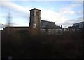

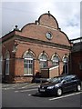
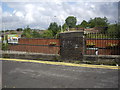
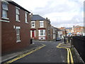
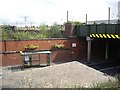
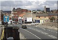
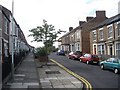
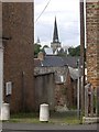
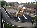
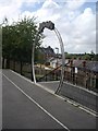
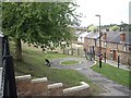
100 photos from this area
Area Information
Key information about the DL1 1TB including its size, population, and administrative classification.
- Area Type
- Postcode
- Area Size
- 1.8 hectares
- Population
- 2098
- Population Density
- 1855 people/km²
House Prices in DL1 1TB
16
Properties
£67,900
Average Sold Price
£44,000
Lowest Price
£87,500
Highest Price
Showing 16 properties
| Address | Type | Beds | Baths | Last Sale Price | Last Sale Date | |
|---|---|---|---|---|---|---|
| 85 Russell Street, Darlington, DL1 1TB | Terraced | 2 | 1 | £87,500 | Aug 2023 | |
| 75 Russell Street, Darlington, DL1 1TB | Terraced | 2 | - | £75,000 | Jun 2021 | |
| 77A Russell Street, Darlington, DL1 1TB | house | - | - | £67,000 | Dec 2017 | |
| 71 Russell Street, Darlington, DL1 1TB | house | - | - | £44,000 | Jan 2015 | |
| 91 Russell Street, Darlington, DL1 1TB | house | 2 | 1 | £66,000 | Mar 2005 | |
| Ground Floor Flat, 69 Russell Street, Darlington, DL1 1TB | Flat | 1 | - | - | - | |
| First Floor Flat, 69 Russell Street, Darlington, DL1 1TB | Flat | - | - | - | - | |
| Riverside Motors, Riverside Motors (vehicle Compound), Valley Street North, Darlington, DL1 1TB | commercial | - | - | - | - | |
| St Cuthbert's Retail Park, Russell Street, Darlington, DL1 1TB | retail_financial | - | - | - | - | |
| 83 Russell Street, Darlington, DL1 1TB | house | - | - | - | - |
Page 1 of 2
Energy Efficiency in DL1 1TB
Amenities
Schools
| Rank | School | Type | Entry gender | Ages |
|---|
Explore more schools in this area
Go to Schools tabDemographics
Household Size
One person
most common
Accommodation Type
Flats
most common
Tenure
24
majority
Ethnic Group
White
most common
Religion
N/A
most common
Household Composition
N/A
most common
Age
47
median
Adults (30-64 years)
most common
Household Deprivation
N/A
with no deprivation
NS-SEC
21
in Lower managerial occupations
Explore more demographic insights in this area
Go to Demographics tabPlanning
Planning Constraints
- Flood RiskPremium
- Ramsar Wetland SitesPremium
- Area of Outstanding Natural BeautyPremium
- Protected Nature ReservePremium
- Protected WoodlandPremium