Area Overview for DH9 8QQ
Photos of DH9 8QQ
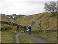
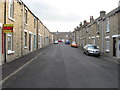
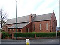
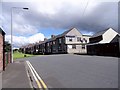
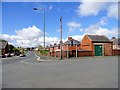
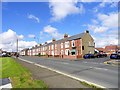
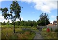
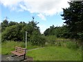
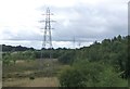
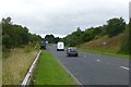
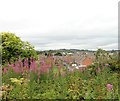
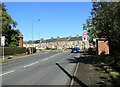
45 photos from this area
Area Information
Key information about the DH9 8QQ including its size, population, and administrative classification.
- Area Type
- Postcode
- Area Size
- 3.2 hectares
- Population
- 1460
- Population Density
- 45476 people/km²
House Prices in DH9 8QQ
19
Properties
£44,321
Average Sold Price
£24,000
Lowest Price
£78,000
Highest Price
Showing 19 properties
| Address | Type | Beds | Baths | Last Sale Price | Last Sale Date | |
|---|---|---|---|---|---|---|
| 49 Stanhope Gardens, Annfield Plain, DH9 8QQ | Retail | 3 | 1 | £69,000 | Dec 2022 | |
| 35 Stanhope Gardens, Annfield Plain, DH9 8QQ | Terraced | 3 | - | £78,000 | Nov 2021 | |
| 33 Stanhope Gardens, Annfield Plain, DH9 8QQ | Terraced | 3 | 1 | £45,000 | May 2017 | |
| 47 Stanhope Gardens, Annfield Plain, DH9 8QQ | house | - | - | £36,500 | Dec 2010 | |
| 31 Stanhope Gardens, Annfield Plain, DH9 8QQ | house | - | - | £30,000 | Oct 2003 | |
| 38 Stanhope Gardens, Annfield Plain, DH9 8QQ | house | 1 | 1 | £24,000 | Sep 2002 | |
| 45 Stanhope Gardens, Annfield Plain, DH9 8QQ | Terraced | - | - | £27,750 | Jan 1997 | |
| 39 Stanhope Gardens, Annfield Plain, DH9 8QQ | house | - | - | - | - | |
| 44 Stanhope Gardens, Annfield Plain, DH9 8QQ | Terraced | - | - | - | - | |
| 42 Stanhope Gardens, Annfield Plain, DH9 8QQ | house | - | - | - | - |
Page 1 of 2
Energy Efficiency in DH9 8QQ
Amenities
Schools
| Rank | School | Type | Entry gender | Ages |
|---|
Explore more schools in this area
Go to Schools tabDemographics
Household Size
One person
most common
Accommodation Type
Houses
most common
Tenure
44
majority
Ethnic Group
White
most common
Religion
N/A
most common
Household Composition
N/A
most common
Age
47
median
Adults (30-64 years)
most common
Household Deprivation
N/A
with no deprivation
NS-SEC
15
in Lower managerial occupations
Explore more demographic insights in this area
Go to Demographics tabPlanning
Planning Constraints
- Flood RiskPremium
- Ramsar Wetland SitesPremium
- Area of Outstanding Natural BeautyPremium
- Protected Nature ReservePremium
- Protected WoodlandPremium