Area Overview for DH9 6BF
Photos of DH9 6BF
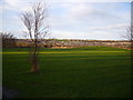
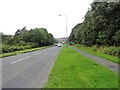
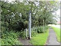
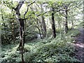
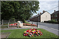
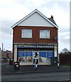
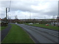
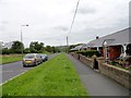
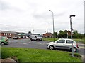
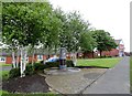
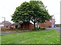
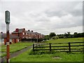
15 photos from this area
Area Information
Key information about the DH9 6BF including its size, population, and administrative classification.
- Area Type
- Postcode
- Area Size
- 2.1 hectares
- Population
- 2668
- Population Density
- 1856 people/km²
House Prices in DH9 6BF
58
Properties
£145,810
Average Sold Price
£73,500
Lowest Price
£189,995
Highest Price
Showing 58 properties
| Address | Type | Beds | Baths | Last Sale Price | Last Sale Date | |
|---|---|---|---|---|---|---|
| 33 Wooler Drive, The Middles, Stanley, DH9 6BF | house | - | - | £134,000 | Oct 2025 | |
| 85A Wooler Drive, The Middles, Stanley, DH9 6BF | Retail | 4 | 2 | £142,000 | Feb 2025 | |
| 40 Wooler Drive, The Middles, Stanley, DH9 6BF | Retail | 3 | 2 | £138,000 | May 2022 | |
| 31 Wooler Drive, The Middles, Stanley, DH9 6BF | Terraced | 2 | 3 | £98,500 | May 2022 | |
| 7 Wooler Drive, The Middles, Stanley, DH9 6BF | Terraced | 2 | 2 | £110,000 | Feb 2022 | |
| 42 Wooler Drive, The Middles, Stanley, DH9 6BF | Detached | 4 | 2 | £183,000 | Apr 2020 | |
| 19 Wooler Drive, The Middles, Stanley, DH9 6BF | Detached | 4 | 2 | £175,000 | Sep 2019 | |
| 6 Wooler Drive, The Middles, Stanley, DH9 6BF | house | - | - | £109,000 | Feb 2019 | |
| 3 Wooler Drive, The Middles, Stanley, DH9 6BF | Terraced | 2 | 1 | £73,500 | Nov 2016 | |
| 47 Wooler Drive, The Middles, Stanley, DH9 6BF | house | - | - | £159,995 | Oct 2015 |
Page 1 of 6
Energy Efficiency in DH9 6BF
Amenities
Schools
| Rank | School | Type | Entry gender | Ages |
|---|
Explore more schools in this area
Go to Schools tabDemographics
Household Size
Family (3-5 people)
most common
Accommodation Type
Houses
most common
Tenure
62
majority
Ethnic Group
White
most common
Religion
N/A
most common
Household Composition
N/A
most common
Age
47
median
Adults (30-64 years)
most common
Household Deprivation
N/A
with no deprivation
NS-SEC
24
in Lower managerial occupations
Explore more demographic insights in this area
Go to Demographics tabPlanning
Planning Constraints
- Flood RiskPremium
- Ramsar Wetland SitesPremium
- Area of Outstanding Natural BeautyPremium
- Protected Nature ReservePremium
- Protected WoodlandPremium