Area Overview for DH9 0JL
Photos of DH9 0JL
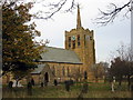
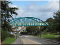
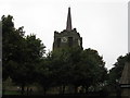
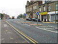
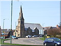
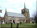
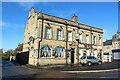
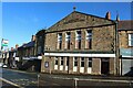
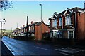
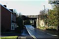
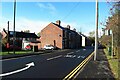
26 photos from this area
Area Information
Key information about the DH9 0JL including its size, population, and administrative classification.
- Area Type
- Postcode
- Area Size
- 1.3 hectares
- Population
- 1822
- Population Density
- 144834 people/km²
House Prices in DH9 0JL
67
Properties
£107,091
Average Sold Price
£25,000
Lowest Price
£205,000
Highest Price
Showing 67 properties
| Address | Type | Beds | Baths | Last Sale Price | Last Sale Date | |
|---|---|---|---|---|---|---|
| 45 Station Road, Stanley, DH9 0JL | Terraced | 3 | 1 | £87,000 | Jun 2025 | |
| 55 Station Road, Stanley, DH9 0JL | Terraced | 3 | 1 | £153,000 | Apr 2025 | |
| 39 Station Road, Stanley, DH9 0JL | Terraced | 3 | 1 | £85,000 | Mar 2025 | |
| 41 Station Road, Stanley, DH9 0JL | house | - | - | £65,500 | Oct 2021 | |
| 47 Station Road, Stanley, DH9 0JL | Terraced | 3 | 1 | £107,000 | Sep 2021 | |
| 53 Station Road, Stanley, DH9 0JL | Terraced | 3 | 1 | £110,000 | Apr 2021 | |
| 57 Station Road, Stanley, DH9 0JL | house | - | - | £205,000 | Nov 2018 | |
| 37 Station Road, Stanley, DH9 0JL | Terraced | 3 | 1 | £82,000 | Dec 2015 | |
| 35 Station Road, Stanley, DH9 0JL | Flat | - | - | £165,000 | Jul 2007 | |
| 43 Station Road, Stanley, DH9 0JL | Terraced | - | - | £93,500 | Oct 2003 |
Page 1 of 7
Energy Efficiency in DH9 0JL
Amenities
Schools
| Rank | School | Type | Entry gender | Ages |
|---|
Explore more schools in this area
Go to Schools tabDemographics
Household Size
One person
most common
Accommodation Type
Houses
most common
Tenure
56
majority
Ethnic Group
White
most common
Religion
N/A
most common
Household Composition
N/A
most common
Age
47
median
Adults (30-64 years)
most common
Household Deprivation
N/A
with no deprivation
NS-SEC
24
in Lower managerial occupations
Explore more demographic insights in this area
Go to Demographics tabPlanning
Planning Constraints
- Flood RiskPremium
- Ramsar Wetland SitesPremium
- Area of Outstanding Natural BeautyPremium
- Protected Nature ReservePremium
- Protected WoodlandPremium