Area Overview for DH7 8LQ
Photos of DH7 8LQ
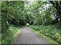
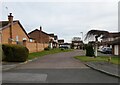
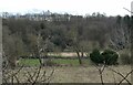
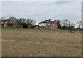
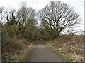
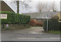
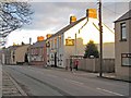
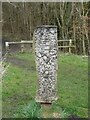
16 photos from this area
Area Information
Key information about the DH7 8LQ including its size, population, and administrative classification.
- Area Type
- Postcode
- Area Size
- 47.5 hectares
- Population
- 1577
- Population Density
- 1083 people/km²
House Prices in DH7 8LQ
28
Properties
£407,444
Average Sold Price
£68,000
Lowest Price
£830,000
Highest Price
Showing 28 properties
| Address | Type | Beds | Baths | Last Sale Price | Last Sale Date | |
|---|---|---|---|---|---|---|
| Boyne Colliery House, Sleetburn Lane, Langley Moor, DH7 8LQ | Detached | - | - | £200,000 | Jan 2022 | |
| Bluebell Wood, Sleetburn Lane, Langley Moor, DH7 8LQ | house | - | - | £740,000 | Oct 2021 | |
| Oakwood Lodge, Sleetburn Lane, Langley Moor, DH7 8LQ | Detached | 5 | 5 | £725,000 | Jun 2021 | |
| Woodfield Lodge, Sleetburn Lane, Langley Moor, DH7 8LQ | house | - | - | £830,000 | Mar 2021 | |
| Meadowmount, Sleetburn Lane, Langley Moor, DH7 8LQ | Detached | 7 | 5 | £195,000 | Oct 2017 | |
| Field Hall, Sleetburn Lane, Langley Moor, DH7 8LQ | house | 2 | 1 | £467,000 | Oct 2012 | |
| Langley Hall Farm, Sleetburn Lane, Langley Moor, DH7 8LQ | Detached | 4 | - | £275,000 | Sep 2005 | |
| Langley Crag, Sleetburn Lane, Langley Moor, DH7 8LQ | Semi-detached | - | - | £167,000 | Jul 2004 | |
| Glenville, Sleetburn Lane, Langley Moor, DH7 8LQ | Land | - | - | £68,000 | Mar 1997 | |
| Langley Old Hall, Sleetburn Lane, Langley Moor, DH7 8LQ | Detached | 5 | 2 | - | - |
Page 1 of 3
Energy Efficiency in DH7 8LQ
Amenities
Schools
| Rank | School | Type | Entry gender | Ages |
|---|
Explore more schools in this area
Go to Schools tabDemographics
Household Size
One person
most common
Accommodation Type
Houses
most common
Tenure
40
majority
Ethnic Group
White
most common
Religion
N/A
most common
Household Composition
N/A
most common
Age
47
median
Adults (30-64 years)
most common
Household Deprivation
N/A
with no deprivation
NS-SEC
16
in Lower managerial occupations
Explore more demographic insights in this area
Go to Demographics tabPlanning
Planning Constraints
- Flood RiskPremium
- Ramsar Wetland SitesPremium
- Area of Outstanding Natural BeautyPremium
- Protected Nature ReservePremium
- Protected WoodlandPremium