Area Overview for DH7 6YP
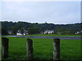
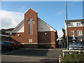
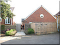
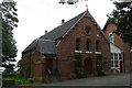
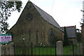
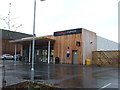
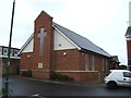
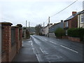
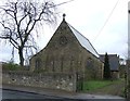
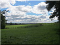
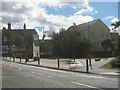
Photos of DH7 6YP

Area Information
DH7 6YP is a small, compact residential postcode area in England, home to 1,556 people spread across a densely populated cluster. With 685 people per square kilometre, it reflects a tightly knit community where local connections are likely strong. The area’s character is shaped by its modest scale, offering a quiet alternative to larger towns. Residents here are predominantly adults aged 30–64, suggesting a mix of families and professionals. Daily life is likely centred around local amenities, with nearby shops and rail links providing practical connectivity. While the area lacks major landmarks or sprawling infrastructure, its small size means a sense of familiarity and accessibility. For those seeking a low-key, community-focused environment, DH7 6YP offers a straightforward, unadorned lifestyle. Its proximity to rail stations and modest retail options makes it suitable for commuters or those prioritising convenience over urban vibrancy. The area’s distinctiveness lies in its simplicity—a place where the essentials are met without excess.
- Area Type
- Postcode
- Area Size
- Not available
- Population
- 1556
- Population Density
- 685 people/km²
The property market in DH7 6YP is characterised by a 59% home ownership rate, suggesting a mix of owner-occupied and rented properties. The accommodation type is predominantly houses, which may indicate a focus on family homes or larger residences. This contrasts with areas where flats or apartments dominate, and it could appeal to buyers seeking more space or privacy. However, the small size of the postcode area means the housing stock is limited, potentially restricting options for buyers. Those interested in the area may need to consider nearby regions for a broader selection. The predominance of houses also implies that the market may cater to those prioritising traditional property types over modern developments. For investors, the balance between owner-occupiers and renters could signal a stable but niche market, though competition for properties may be keen due to the area’s compact nature.
House Prices in DH7 6YP
No properties found in this postcode.
Energy Efficiency in DH7 6YP
Residents of DH7 6YP have access to five retail outlets, including notable stores such as Tesco Sacriston, Morrisons Daily Witton, and Spar Red. These shops provide everyday essentials, from groceries to convenience items, reducing the need for long trips to larger centres. The area’s rail network, with four stations—including Bullion Lane, Chester, and Durham—offers practical links to nearby towns, enhancing mobility for shopping, work, or leisure. While the data does not mention parks or leisure facilities, the presence of multiple retail and transport options suggests a functional lifestyle focused on accessibility. The compact nature of the area means amenities are closely clustered, making daily errands efficient. For those prioritising convenience over expansive recreational spaces, DH7 6YP delivers a straightforward, service-oriented environment.
Amenities
Schools
Residents of DH7 6YP have access to two primary schools within practical reach: St Bede’s Roman Catholic Voluntary Aided Primary School in Sacriston and St Bede’s Catholic Primary School, also in Sacriston, which holds an Ofsted rating of ‘good’. Both institutions serve the local community, offering education for younger children. The presence of two primary schools suggests a focus on early education, which is crucial for families with young dependents. The ‘good’ rating at one school indicates a satisfactory standard of teaching and facilities, though no secondary schools are listed in the data. For parents, this means a reliable foundation for their children’s education, though further research would be needed for secondary options. The proximity of these schools likely enhances the area’s appeal to families seeking a stable educational environment.
| Rank | School | Type | Entry gender | Ages |
|---|
Explore more schools in this area
Go to Schools tabDemographics
The population of DH7 6YP is predominantly adults aged 30–64, with a median age of 47. This suggests a community skewed towards middle-aged individuals, likely including families and professionals. Home ownership stands at 59%, indicating a balance between owner-occupied properties and rental stock. The accommodation type is primarily houses, which may reflect a preference for more spacious living compared to flats. The predominant ethnic group is White, though no specific data on diversity or deprivation is provided. The age profile implies a stable population with fewer young children or retirees, which may influence local services and amenities. With 59% of homes owned outright, residents may have a stronger attachment to the area, though the 41% rental market suggests some flexibility in housing choices. The absence of detailed diversity statistics means the community’s cultural composition remains less defined in the data.
Household Size
Accommodation Type
Tenure
Ethnic Group
Religion
Household Composition
Age
Household Deprivation
NS-SEC
Explore more demographic insights in this area
Go to Demographics tabPlanning
Planning Constraints
- Flood RiskPremium
- Ramsar Wetland SitesPremium
- Area of Outstanding Natural BeautyPremium
- Protected Nature ReservePremium
- Protected WoodlandPremium