Area Overview for DH7 0HE
Photos of DH7 0HE
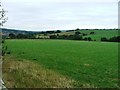
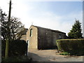
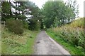
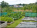
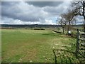
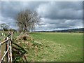
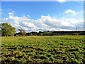
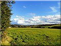
17 photos from this area
Area Information
Key information about the DH7 0HE including its size, population, and administrative classification.
- Area Type
- Postcode
- Area Size
- 8.2 hectares
- Population
- 1388
- Population Density
- 1928 people/km²
House Prices in DH7 0HE
11
Properties
£322,975
Average Sold Price
£215,000
Lowest Price
£425,000
Highest Price
Showing 11 properties
| Address | Type | Beds | Baths | Last Sale Price | Last Sale Date | |
|---|---|---|---|---|---|---|
| Hillandale, Cadger Bank, Lanchester, DH7 0HE | Bungalow | 2 | 1 | £290,000 | Feb 2024 | |
| Pantiles, Cadger Bank, Lanchester, DH7 0HE | house | - | - | £417,850 | Aug 2023 | |
| Bryher, Cadger Bank, Lanchester, DH7 0HE | Bungalow | 2 | 3 | £250,000 | Jul 2019 | |
| Torcroft, Cadger Bank, Lanchester, DH7 0HE | Detached | - | - | £215,000 | Nov 2015 | |
| High Shaws, Cadger Bank, Lanchester, DH7 0HE | Bungalow | 3 | - | £340,000 | Dec 2012 | |
| Summerdale, Cadger Bank, Lanchester, DH7 0HE | Detached | 5 | 5 | £425,000 | Jun 2011 | |
| West Grange, Cadger Bank, Lanchester, DH7 0HE | Retail | 8 | - | - | - | |
| Pelham House, Cadger Bank, Lanchester, DH7 0HE | Detached | 5 | - | - | - | |
| The Annexe, Summerdale, Cadger Bank, Lanchester, DH7 0HE | Flat | - | - | - | - | |
| Magadi, 2 Cadger Bank, Lanchester, DH7 0HE | Detached | - | - | - | - |
Page 1 of 2
Energy Efficiency in DH7 0HE
Amenities
Schools
| Rank | School | Type | Entry gender | Ages |
|---|
Explore more schools in this area
Go to Schools tabDemographics
Household Size
Two person
most common
Accommodation Type
Houses
most common
Tenure
89
majority
Ethnic Group
White
most common
Religion
N/A
most common
Household Composition
N/A
most common
Age
47
median
Adults (30-64 years)
most common
Household Deprivation
N/A
with no deprivation
NS-SEC
49
in Lower managerial occupations
Explore more demographic insights in this area
Go to Demographics tabPlanning
Planning Constraints
- Flood RiskPremium
- Ramsar Wetland SitesPremium
- Area of Outstanding Natural BeautyPremium
- Protected Nature ReservePremium
- Protected WoodlandPremium