Area Overview for DH7 0EA
Photos of DH7 0EA
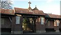
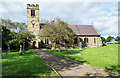
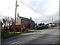
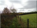
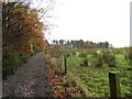
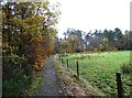
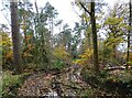
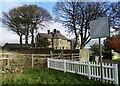
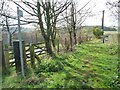
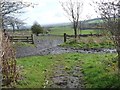
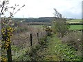
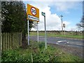
29 photos from this area
Area Information
Key information about the DH7 0EA including its size, population, and administrative classification.
- Area Type
- Postcode
- Area Size
- 2.5 hectares
- Population
- 1622
- Population Density
- 113 people/km²
House Prices in DH7 0EA
25
Properties
£76,745
Average Sold Price
£52,000
Lowest Price
£125,000
Highest Price
Showing 25 properties
| Address | Type | Beds | Baths | Last Sale Price | Last Sale Date | |
|---|---|---|---|---|---|---|
| 8 Vale View, Burnhope, DH7 0EA | Detached | 2 | 1 | £70,000 | Nov 2022 | |
| 2 Vale View, Burnhope, DH7 0EA | Semi-detached | 2 | 1 | £54,000 | Jun 2022 | |
| 22 Vale View, Burnhope, DH7 0EA | Bungalow | - | - | £90,000 | Dec 2020 | |
| 21 Vale View, Burnhope, DH7 0EA | Bungalow | - | - | £72,000 | Oct 2018 | |
| 24 Vale View, Burnhope, DH7 0EA | Bungalow | - | - | £52,000 | Feb 2018 | |
| 3 Vale View, Burnhope, DH7 0EA | house | - | - | £58,000 | Jan 2017 | |
| 9 Vale View, Burnhope, DH7 0EA | Semi-detached | 2 | 1 | £60,200 | Apr 2014 | |
| 6 Vale View, Burnhope, DH7 0EA | house | - | - | £55,000 | Apr 2014 | |
| 10 Vale View, Burnhope, DH7 0EA | Semi-detached | - | - | £112,000 | Oct 2006 | |
| 23 Vale View, Burnhope, DH7 0EA | Semi-detached | - | - | £96,000 | Aug 2006 |
Page 1 of 3
Energy Efficiency in DH7 0EA
Amenities
Schools
| Rank | School | Type | Entry gender | Ages |
|---|
Explore more schools in this area
Go to Schools tabDemographics
Household Size
Two person
most common
Accommodation Type
Houses
most common
Tenure
63
majority
Ethnic Group
White
most common
Religion
N/A
most common
Household Composition
N/A
most common
Age
47
median
Adults (30-64 years)
most common
Household Deprivation
N/A
with no deprivation
NS-SEC
24
in Lower managerial occupations
Explore more demographic insights in this area
Go to Demographics tabPlanning
Planning Constraints
- Flood RiskPremium
- Ramsar Wetland SitesPremium
- Area of Outstanding Natural BeautyPremium
- Protected Nature ReservePremium
- Protected WoodlandPremium