Area Overview for DH6 4ST
Photos of DH6 4ST
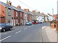
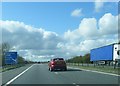
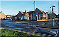
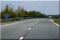
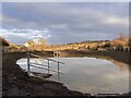
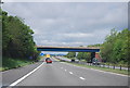
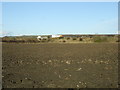
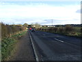
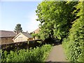
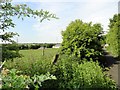
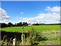
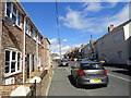
19 photos from this area
Area Information
Key information about the DH6 4ST including its size, population, and administrative classification.
- Area Type
- Postcode
- Area Size
- 4951 m²
- Population
- 1552
- Population Density
- 946 people/km²
House Prices in DH6 4ST
13
Properties
£194,654
Average Sold Price
£157,995
Lowest Price
£230,000
Highest Price
Showing 13 properties
| Address | Type | Beds | Baths | Last Sale Price | Last Sale Date | |
|---|---|---|---|---|---|---|
| 3 Burdon Way, Coxhoe, DH6 4ST | house | - | - | £213,746 | Jan 2025 | |
| 8 Burdon Way, Coxhoe, DH6 4ST | house | - | - | £204,245 | May 2024 | |
| 2 Burdon Way, Coxhoe, DH6 4ST | house | - | - | £157,995 | May 2024 | |
| 10 Burdon Way, Coxhoe, DH6 4ST | house | - | - | £182,500 | Jan 2024 | |
| 5 Burdon Way, Coxhoe, DH6 4ST | house | - | - | £175,000 | Mar 2021 | |
| 12 Burdon Way, Coxhoe, DH6 4ST | house | - | - | £174,795 | Feb 2021 | |
| 7 Burdon Way, Coxhoe, DH6 4ST | Retail | 3 | - | £230,000 | Dec 2020 | |
| 9 Burdon Way, Coxhoe, DH6 4ST | house | - | - | £218,951 | Dec 2020 | |
| 11 Burdon Way, Coxhoe, DH6 4ST | house | - | - | - | - | |
| 6 Burdon Way, Coxhoe, DH6 4ST | house | - | - | - | - |
Page 1 of 2
Energy Efficiency in DH6 4ST
Amenities
Schools
| Rank | School | Type | Entry gender | Ages |
|---|
Explore more schools in this area
Go to Schools tabDemographics
Household Size
Two person
most common
Accommodation Type
Houses
most common
Tenure
83
majority
Ethnic Group
White
most common
Religion
N/A
most common
Household Composition
N/A
most common
Age
47
median
Adults (30-64 years)
most common
Household Deprivation
N/A
with no deprivation
NS-SEC
36
in Lower managerial occupations
Explore more demographic insights in this area
Go to Demographics tabPlanning
Planning Constraints
- Flood RiskPremium
- Ramsar Wetland SitesPremium
- Area of Outstanding Natural BeautyPremium
- Protected Nature ReservePremium
- Protected WoodlandPremium