Area Overview for DH6 2LH
Photos of DH6 2LH
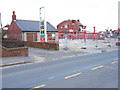
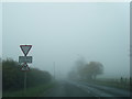
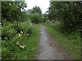
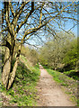
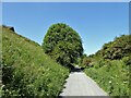
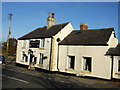
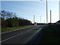
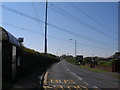
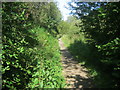
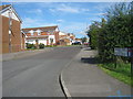
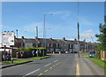
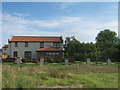
15 photos from this area
Area Information
Key information about the DH6 2LH including its size, population, and administrative classification.
- Area Type
- Postcode
- Area Size
- 4991 m²
- Population
- 1979
- Population Density
- 889 people/km²
House Prices in DH6 2LH
18
Properties
£123,205
Average Sold Price
£25,000
Lowest Price
£192,500
Highest Price
Showing 18 properties
| Address | Type | Beds | Baths | Last Sale Price | Last Sale Date | |
|---|---|---|---|---|---|---|
| 3 Rosebay Close, Shotton Colliery, DH6 2LH | house | - | - | £136,000 | Sep 2025 | |
| 15 Rosebay Close, Shotton Colliery, DH6 2LH | Semi-detached | 3 | 2 | £140,000 | Mar 2025 | |
| 10 Rosebay Close, Shotton Colliery, DH6 2LH | house | - | - | £25,000 | Mar 2024 | |
| 11 Rosebay Close, Shotton Colliery, DH6 2LH | house | - | - | £192,500 | Feb 2024 | |
| 17 Rosebay Close, Shotton Colliery, DH6 2LH | house | - | - | £120,000 | Feb 2021 | |
| 6 Rosebay Close, Shotton Colliery, DH6 2LH | house | - | - | £144,000 | Mar 2018 | |
| 12 Rosebay Close, Shotton Colliery, DH6 2LH | house | - | - | £94,950 | Sep 2017 | |
| 14 Rosebay Close, Shotton Colliery, DH6 2LH | Semi-detached | 3 | 2 | £92,950 | May 2017 | |
| 16 Rosebay Close, Shotton Colliery, DH6 2LH | Semi-detached | 3 | 2 | £124,950 | Sep 2016 | |
| 19 Rosebay Close, Shotton Colliery, DH6 2LH | Terraced | 3 | 2 | £149,950 | Dec 2015 |
Page 1 of 2
Energy Efficiency in DH6 2LH
Amenities
Schools
| Rank | School | Type | Entry gender | Ages |
|---|
Explore more schools in this area
Go to Schools tabDemographics
Household Size
Family (3-5 people)
most common
Accommodation Type
Houses
most common
Tenure
74
majority
Ethnic Group
White
most common
Religion
N/A
most common
Household Composition
N/A
most common
Age
47
median
Adults (30-64 years)
most common
Household Deprivation
N/A
with no deprivation
NS-SEC
26
in Lower managerial occupations
Explore more demographic insights in this area
Go to Demographics tabPlanning
Planning Constraints
- Flood RiskPremium
- Ramsar Wetland SitesPremium
- Area of Outstanding Natural BeautyPremium
- Protected Nature ReservePremium
- Protected WoodlandPremium