Area Overview for DH6 2BL
Photos of DH6 2BL
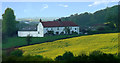
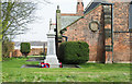
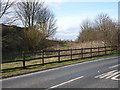
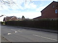
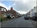
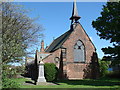
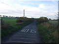
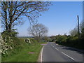
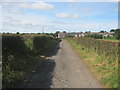
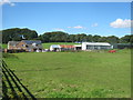
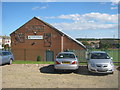
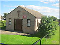
17 photos from this area
Area Information
Key information about the DH6 2BL including its size, population, and administrative classification.
- Area Type
- Postcode
- Area Size
- 1.4 hectares
- Population
- 1823
- Population Density
- 157 people/km²
House Prices in DH6 2BL
30
Properties
£73,885
Average Sold Price
£19,500
Lowest Price
£190,000
Highest Price
Showing 30 properties
| Address | Type | Beds | Baths | Last Sale Price | Last Sale Date | |
|---|---|---|---|---|---|---|
| 74 Front Street East, Haswell, DH6 2BL | Terraced | 2 | 1 | £98,000 | Apr 2024 | |
| 31 Front Street East, Haswell, DH6 2BL | house | 3 | 1 | £70,000 | Mar 2022 | |
| 29 Front Street East, Haswell, DH6 2BL | house | 3 | 1 | £68,000 | Feb 2022 | |
| 70 Front Street East, Haswell, DH6 2BL | Detached | 3 | 1 | £19,500 | Nov 2017 | |
| 68 Front Street East, Haswell, DH6 2BL | Terraced | 3 | 2 | £20,000 | Nov 2017 | |
| 52 Front Street East, Haswell, DH6 2BL | restaurant_cafe | - | - | £62,000 | Sep 2017 | |
| 90 Front Street East, Haswell, DH6 2BL | Detached | 2 | 1 | £35,000 | May 2015 | |
| 36 Front Street East, Haswell, DH6 2BL | house | 4 | 4 | £38,000 | Apr 2012 | |
| 66 Front Street East, Haswell, DH6 2BL | house | - | - | £115,000 | Mar 2007 | |
| 50 Front Street East, Haswell, DH6 2BL | house | 4 | 2 | £82,000 | Dec 2006 |
Page 1 of 3
Energy Efficiency in DH6 2BL
Amenities
Schools
| Rank | School | Type | Entry gender | Ages |
|---|
Explore more schools in this area
Go to Schools tabDemographics
Household Size
Two person
most common
Accommodation Type
Houses
most common
Tenure
61
majority
Ethnic Group
White
most common
Religion
N/A
most common
Household Composition
N/A
most common
Age
47
median
Adults (30-64 years)
most common
Household Deprivation
N/A
with no deprivation
NS-SEC
21
in Lower managerial occupations
Explore more demographic insights in this area
Go to Demographics tabPlanning
Planning Constraints
- Flood RiskPremium
- Ramsar Wetland SitesPremium
- Area of Outstanding Natural BeautyPremium
- Protected Nature ReservePremium
- Protected WoodlandPremium