Area Overview for DH6 1EB
Photos of DH6 1EB
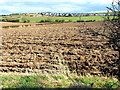
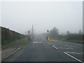
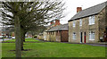
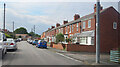
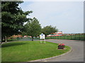
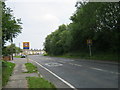
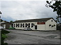
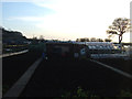
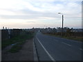
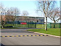
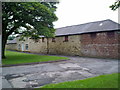
11 photos from this area
Area Information
Key information about the DH6 1EB including its size, population, and administrative classification.
- Area Type
- Postcode
- Area Size
- 1.4 hectares
- Population
- 1630
- Population Density
- 1482 people/km²
House Prices in DH6 1EB
37
Properties
£584,759
Average Sold Price
£38,500
Lowest Price
£8,250,000
Highest Price
Showing 37 properties
| Address | Type | Beds | Baths | Last Sale Price | Last Sale Date | |
|---|---|---|---|---|---|---|
| 29 Hall Gardens, Sherburn, DH6 1EB | Detached | 2 | 1 | £135,000 | Apr 2024 | |
| 15 Hall Gardens, Sherburn, DH6 1EB | house | - | - | £165,000 | Nov 2022 | |
| 8 Hall Gardens, Sherburn, DH6 1EB | house | 2 | 1 | £8,250,000 | Jul 2020 | |
| 9 Hall Gardens, Sherburn, DH6 1EB | house | - | - | £127,000 | May 2020 | |
| Kirkstile, Hall Gardens, Sherburn, DH6 1EB | Semi-detached | 2 | 1 | £287,500 | Oct 2016 | |
| 5 Hall Gardens, Sherburn, DH6 1EB | Semi-detached | 2 | 1 | £74,500 | Oct 2016 | |
| 18 Hall Gardens, Sherburn, DH6 1EB | Semi-detached | 3 | - | £93,500 | Dec 2014 | |
| 24 Hall Gardens, Sherburn, DH6 1EB | house | - | - | £110,000 | Apr 2011 | |
| 12 Hall Gardens, Sherburn, DH6 1EB | Semi-detached | - | - | £83,000 | Sep 2007 | |
| 6 Hall Gardens, Sherburn, DH6 1EB | Detached | 4 | 1 | £122,500 | Sep 2006 |
Page 1 of 4
Energy Efficiency in DH6 1EB
Amenities
Schools
| Rank | School | Type | Entry gender | Ages |
|---|
Explore more schools in this area
Go to Schools tabDemographics
Household Size
One person
most common
Accommodation Type
Houses
most common
Tenure
59
majority
Ethnic Group
White
most common
Religion
N/A
most common
Household Composition
N/A
most common
Age
47
median
Adults (30-64 years)
most common
Household Deprivation
N/A
with no deprivation
NS-SEC
22
in Lower managerial occupations
Explore more demographic insights in this area
Go to Demographics tabPlanning
Planning Constraints
- Flood RiskPremium
- Ramsar Wetland SitesPremium
- Area of Outstanding Natural BeautyPremium
- Protected Nature ReservePremium
- Protected WoodlandPremium