Area Overview for DH6 1AN
Photos of DH6 1AN
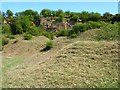
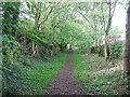
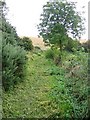
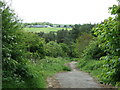
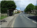
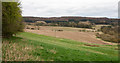
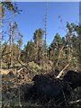
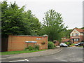
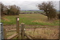
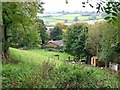
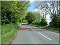
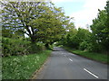
13 photos from this area
Area Information
Key information about the DH6 1AN including its size, population, and administrative classification.
- Area Type
- Postcode
- Area Size
- 1.4 hectares
- Population
- 1517
- Population Density
- 184 people/km²
House Prices in DH6 1AN
14
Properties
£97,010
Average Sold Price
£51,500
Lowest Price
£130,000
Highest Price
Showing 14 properties
| Address | Type | Beds | Baths | Last Sale Price | Last Sale Date | |
|---|---|---|---|---|---|---|
| 2 Norman Terrace, High Pittington, DH6 1AN | Terraced | 2 | - | £86,100 | Nov 2023 | |
| 6 Norman Terrace, High Pittington, DH6 1AN | Terraced | 2 | - | £95,000 | Feb 2019 | |
| 11 Norman Terrace, High Pittington, DH6 1AN | Terraced | 4 | 2 | £130,000 | Aug 2017 | |
| 14 Norman Terrace, High Pittington, DH6 1AN | Terraced | 3 | 2 | £125,000 | Mar 2015 | |
| 9 Norman Terrace, High Pittington, DH6 1AN | Terraced | 3 | 1 | £118,000 | Jul 2014 | |
| 13 Norman Terrace, High Pittington, DH6 1AN | Terraced | - | - | £110,000 | Sep 2005 | |
| 4 Norman Terrace, High Pittington, DH6 1AN | Terraced | 2 | 1 | £101,500 | Aug 2004 | |
| 3 Norman Terrace, High Pittington, DH6 1AN | Terraced | - | - | £100,000 | Aug 2004 | |
| 12 Norman Terrace, High Pittington, DH6 1AN | Terraced | - | - | £53,000 | Dec 2000 | |
| 1 Norman Terrace, High Pittington, DH6 1AN | Terraced | - | - | £51,500 | Oct 2000 |
Page 1 of 2
Energy Efficiency in DH6 1AN
Amenities
Schools
| Rank | School | Type | Entry gender | Ages |
|---|
Explore more schools in this area
Go to Schools tabDemographics
Household Size
Two person
most common
Accommodation Type
Houses
most common
Tenure
77
majority
Ethnic Group
White
most common
Religion
N/A
most common
Household Composition
N/A
most common
Age
47
median
Adults (30-64 years)
most common
Household Deprivation
N/A
with no deprivation
NS-SEC
39
in Lower managerial occupations
Explore more demographic insights in this area
Go to Demographics tabPlanning
Planning Constraints
- Flood RiskPremium
- Ramsar Wetland SitesPremium
- Area of Outstanding Natural BeautyPremium
- Protected Nature ReservePremium
- Protected WoodlandPremium