Area Overview for DH4 7PP
Photos of DH4 7PP
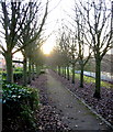
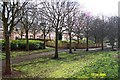
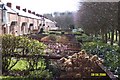
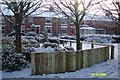
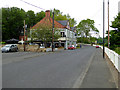
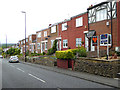
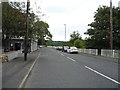
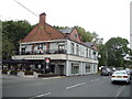
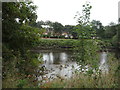
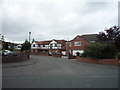
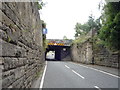
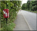
31 photos from this area
Area Information
Key information about the DH4 7PP including its size, population, and administrative classification.
- Area Type
- Postcode
- Area Size
- 3.5 hectares
- Population
- 1625
- Population Density
- 46644 people/km²
House Prices in DH4 7PP
72
Properties
£198,163
Average Sold Price
£5,850
Lowest Price
£307,000
Highest Price
Showing 72 properties
| Address | Type | Beds | Baths | Last Sale Price | Last Sale Date | |
|---|---|---|---|---|---|---|
| 14 Kingswood, Penshaw, Houghton Le Spring, DH4 7PP | Flat | 2 | 2 | £93,500 | Jan 2024 | |
| 29 Kingswood, Penshaw, Houghton Le Spring, DH4 7PP | Semi-detached | 4 | 3 | £262,500 | May 2023 | |
| 45 Kingswood, Penshaw, Houghton Le Spring, DH4 7PP | house | 4 | 4 | £220,000 | May 2023 | |
| 33 Kingswood, Penshaw, Houghton Le Spring, DH4 7PP | Retail | 4 | 3 | £235,000 | May 2022 | |
| 23 Kingswood, Penshaw, Houghton Le Spring, DH4 7PP | house | - | - | £305,000 | Mar 2022 | |
| 12 Kingswood, Penshaw, Houghton Le Spring, DH4 7PP | Flat | 2 | 1 | £100,000 | Sep 2021 | |
| 5 Kingswood, Penshaw, Houghton Le Spring, DH4 7PP | house | - | - | £210,000 | Jun 2021 | |
| 7 Kingswood, Penshaw, Houghton Le Spring, DH4 7PP | house | - | - | £210,500 | Dec 2020 | |
| 27 Kingswood, Penshaw, Houghton Le Spring, DH4 7PP | Semi-detached | 4 | - | £220,000 | Oct 2020 | |
| 24 Kingswood, Penshaw, Houghton Le Spring, DH4 7PP | Detached | 3 | - | £210,000 | Jun 2019 |
Page 1 of 8
Energy Efficiency in DH4 7PP
Amenities
Schools
| Rank | School | Type | Entry gender | Ages |
|---|
Explore more schools in this area
Go to Schools tabDemographics
Household Size
Two person
most common
Accommodation Type
Houses
most common
Tenure
84
majority
Ethnic Group
White
most common
Religion
N/A
most common
Household Composition
N/A
most common
Age
47
median
Adults (30-64 years)
most common
Household Deprivation
N/A
with no deprivation
NS-SEC
42
in Lower managerial occupations
Explore more demographic insights in this area
Go to Demographics tabPlanning
Planning Constraints
- Flood RiskPremium
- Ramsar Wetland SitesPremium
- Area of Outstanding Natural BeautyPremium
- Protected Nature ReservePremium
- Protected WoodlandPremium