Area Overview for DH4 6RE
Photos of DH4 6RE
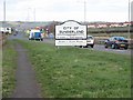
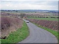
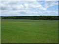
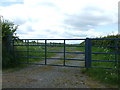
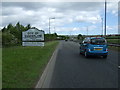
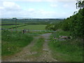
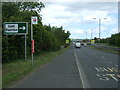
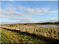
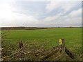
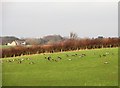
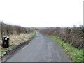
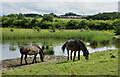
22 photos from this area
Area Information
Key information about the DH4 6RE including its size, population, and administrative classification.
- Area Type
- Postcode
- Area Size
- 1.1 km²
- Population
- 1714
- Population Density
- 514 people/km²
House Prices in DH4 6RE
65
Properties
£285,527
Average Sold Price
£122,500
Lowest Price
£439,995
Highest Price
Showing 65 properties
| Address | Type | Beds | Baths | Last Sale Price | Last Sale Date | |
|---|---|---|---|---|---|---|
| 57 Allenson View, West Rainton, DH4 6RE | house | - | - | £254,995 | Feb 2025 | |
| 47 Allenson View, West Rainton, DH4 6RE | house | - | - | £201,995 | Apr 2024 | |
| 43 Allenson View, West Rainton, DH4 6RE | house | - | - | £122,500 | Mar 2023 | |
| 22 Allenson View, West Rainton, DH4 6RE | house | - | - | £269,995 | Feb 2023 | |
| 12 Allenson View, West Rainton, DH4 6RE | house | - | - | £439,995 | Dec 2022 | |
| 58 Allenson View, West Rainton, DH4 6RE | house | - | - | £297,995 | Nov 2022 | |
| 49 Allenson View, West Rainton, DH4 6RE | house | - | - | £201,995 | Sep 2022 | |
| 52 Allenson View, West Rainton, DH4 6RE | Semi-detached | 3 | 2 | £196,995 | Sep 2022 | |
| 53 Allenson View, West Rainton, DH4 6RE | house | - | - | £259,995 | Aug 2022 | |
| 7 Allenson View, West Rainton, DH4 6RE | house | - | - | £429,995 | Jun 2022 |
Page 1 of 7
Energy Efficiency in DH4 6RE
Amenities
Schools
| Rank | School | Type | Entry gender | Ages |
|---|
Explore more schools in this area
Go to Schools tabDemographics
Household Size
Two person
most common
Accommodation Type
Houses
most common
Tenure
69
majority
Ethnic Group
White
most common
Religion
N/A
most common
Household Composition
N/A
most common
Age
47
median
Adults (30-64 years)
most common
Household Deprivation
N/A
with no deprivation
NS-SEC
33
in Lower managerial occupations
Explore more demographic insights in this area
Go to Demographics tabPlanning
Planning Constraints
- Flood RiskPremium
- Ramsar Wetland SitesPremium
- Area of Outstanding Natural BeautyPremium
- Protected Nature ReservePremium
- Protected WoodlandPremium