Area Overview for DH4 6NZ
Photos of DH4 6NZ
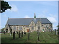
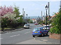
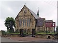
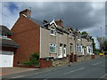
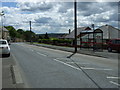
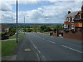
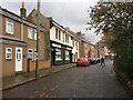
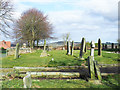
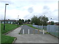
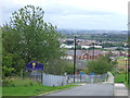
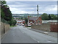
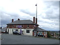
27 photos from this area
Area Information
Key information about the DH4 6NZ including its size, population, and administrative classification.
- Area Type
- Postcode
- Area Size
- 1.6 hectares
- Population
- 1558
- Population Density
- 1156 people/km²
House Prices in DH4 6NZ
50
Properties
£172,090
Average Sold Price
£74,000
Lowest Price
£237,000
Highest Price
Showing 50 properties
| Address | Type | Beds | Baths | Last Sale Price | Last Sale Date | |
|---|---|---|---|---|---|---|
| 34 Glanville Drive, Houghton Le Spring, DH4 6NZ | Terraced | 3 | 1 | £149,950 | Feb 2025 | |
| 11 Glanville Drive, Houghton Le Spring, DH4 6NZ | Semi-detached | 3 | 3 | £155,000 | May 2024 | |
| 12 Glanville Drive, Houghton Le Spring, DH4 6NZ | house | - | - | £230,000 | Mar 2022 | |
| 31 Glanville Drive, Houghton Le Spring, DH4 6NZ | house | - | - | £237,000 | Nov 2021 | |
| 29 Glanville Drive, Houghton Le Spring, DH4 6NZ | house | - | - | £230,000 | Mar 2021 | |
| 43 Glanville Drive, Houghton Le Spring, DH4 6NZ | Terraced | 3 | 3 | £144,950 | May 2019 | |
| 41 Glanville Drive, Houghton Le Spring, DH4 6NZ | house | - | - | £144,950 | Nov 2018 | |
| 45 Glanville Drive, Houghton Le Spring, DH4 6NZ | house | - | - | £154,950 | Aug 2018 | |
| 39 Glanville Drive, Houghton Le Spring, DH4 6NZ | house | 3 | 2 | £154,950 | Jun 2018 | |
| 46 Glanville Drive, Houghton Le Spring, DH4 6NZ | house | - | - | £229,950 | Jun 2018 |
Page 1 of 5
Energy Efficiency in DH4 6NZ
Amenities
Schools
| Rank | School | Type | Entry gender | Ages |
|---|
Explore more schools in this area
Go to Schools tabDemographics
Household Size
Family (3-5 people)
most common
Accommodation Type
Houses
most common
Tenure
92
majority
Ethnic Group
White
most common
Religion
N/A
most common
Household Composition
N/A
most common
Age
47
median
Adults (30-64 years)
most common
Household Deprivation
N/A
with no deprivation
NS-SEC
50
in Lower managerial occupations
Explore more demographic insights in this area
Go to Demographics tabPlanning
Planning Constraints
- Flood RiskPremium
- Ramsar Wetland SitesPremium
- Area of Outstanding Natural BeautyPremium
- Protected Nature ReservePremium
- Protected WoodlandPremium