Area Overview for DH3 4JB
Photos of DH3 4JB
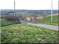
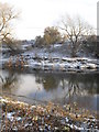
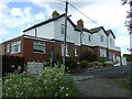
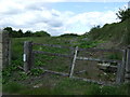
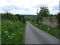
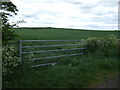
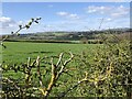
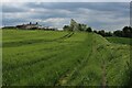

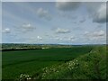
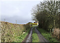
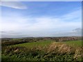
21 photos from this area
Area Information
Key information about the DH3 4JB including its size, population, and administrative classification.
- Area Type
- Postcode
- Area Size
- 4.4 hectares
- Population
- 1386
- Population Density
- 401 people/km²
House Prices in DH3 4JB
14
Properties
£265,000
Average Sold Price
£265,000
Lowest Price
£265,000
Highest Price
Showing 14 properties
| Address | Type | Beds | Baths | Last Sale Price | Last Sale Date | |
|---|---|---|---|---|---|---|
| 155 Front Street, Great Lumley, DH3 4JB | Detached | 4 | 6 | £265,000 | Aug 2016 | |
| 153 Front Street, Great Lumley, DH3 4JB | Semi-detached | 3 | - | - | - | |
| 2, Warriors House, Front Street, Great Lumley, DH3 4JB | Maisonette | 3 | 1 | - | - | |
| 157 Bank Top, Great Lumley, DH3 4JB | Semi-detached | - | - | - | - | |
| Cemetery, Christ Church, Front Street, Great Lumley, DH3 4JB | commercial | - | - | - | - | |
| Flat, Lumley Snooker And Social Club, Front Street, Great Lumley, DH3 4JB | Flat | 2 | 1 | - | - | |
| Managers Flat, The Old England, Front Street, Great Lumley, DH3 4JB | Flat | - | - | - | - | |
| 3, Warriors House, Front Street, Great Lumley, DH3 4JB | Maisonette | - | - | - | - | |
| 4, Warriors House, Front Street, Great Lumley, DH3 4JB | Flat | - | - | - | - | |
| 5, Warriors House, Front Street, Great Lumley, DH3 4JB | Flat | - | - | - | - |
Page 1 of 2
Energy Efficiency in DH3 4JB
Amenities
Schools
| Rank | School | Type | Entry gender | Ages |
|---|
Explore more schools in this area
Go to Schools tabDemographics
Household Size
Two person
most common
Accommodation Type
Houses
most common
Tenure
84
majority
Ethnic Group
White
most common
Religion
N/A
most common
Household Composition
N/A
most common
Age
47
median
Adults (30-64 years)
most common
Household Deprivation
N/A
with no deprivation
NS-SEC
44
in Lower managerial occupations
Explore more demographic insights in this area
Go to Demographics tabPlanning
Planning Constraints
- Flood RiskPremium
- Ramsar Wetland SitesPremium
- Area of Outstanding Natural BeautyPremium
- Protected Nature ReservePremium
- Protected WoodlandPremium