Area Overview for DH3 3TU
Photos of DH3 3TU
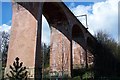
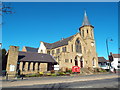
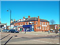
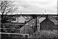
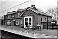
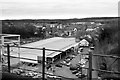
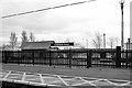
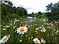
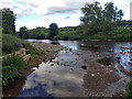
100 photos from this area
Area Information
Key information about the DH3 3TU including its size, population, and administrative classification.
- Area Type
- Postcode
- Area Size
- 1.5 hectares
- Population
- 1676
- Population Density
- 2973 people/km²
House Prices in DH3 3TU
40
Properties
£126,890
Average Sold Price
£34,500
Lowest Price
£168,000
Highest Price
Showing 40 properties
| Address | Type | Beds | Baths | Last Sale Price | Last Sale Date | |
|---|---|---|---|---|---|---|
| 27 Hillside, Chester Le Street, DH3 3TU | Semi-detached | 3 | 1 | £149,950 | Apr 2025 | |
| 29 Hillside, Chester Le Street, DH3 3TU | Semi-detached | 3 | 1 | £121,500 | Mar 2025 | |
| 39 Hillside, Chester Le Street, DH3 3TU | Semi-detached | 3 | 1 | £168,000 | Dec 2024 | |
| 4 Hillside, Chester Le Street, DH3 3TU | Semi-detached | 3 | 1 | £144,950 | Sep 2023 | |
| 38 Hillside, Chester Le Street, DH3 3TU | house | - | - | £150,000 | Sep 2022 | |
| 3 Hillside, Chester Le Street, DH3 3TU | Semi-detached | 3 | 1 | £125,000 | Jul 2021 | |
| 21 Hillside, Chester Le Street, DH3 3TU | Semi-detached | 3 | 1 | £115,000 | Jan 2020 | |
| 40 Hillside, Chester Le Street, DH3 3TU | house | - | - | £135,000 | Oct 2010 | |
| 20 Hillside, Chester Le Street, DH3 3TU | house | - | - | £125,000 | Jul 2007 | |
| 2 Hillside, Chester Le Street, DH3 3TU | Semi-detached | - | - | £34,500 | Dec 1995 |
Page 1 of 4
Energy Efficiency in DH3 3TU
Amenities
Schools
| Rank | School | Type | Entry gender | Ages |
|---|
Explore more schools in this area
Go to Schools tabDemographics
Household Size
One person
most common
Accommodation Type
Houses
most common
Tenure
75
majority
Ethnic Group
White
most common
Religion
N/A
most common
Household Composition
N/A
most common
Age
47
median
Adults (30-64 years)
most common
Household Deprivation
N/A
with no deprivation
NS-SEC
39
in Lower managerial occupations
Explore more demographic insights in this area
Go to Demographics tabPlanning
Planning Constraints
- Flood RiskPremium
- Ramsar Wetland SitesPremium
- Area of Outstanding Natural BeautyPremium
- Protected Nature ReservePremium
- Protected WoodlandPremium