Area Overview for DH2 3TE
Photos of DH2 3TE
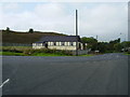
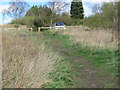
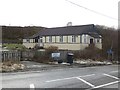
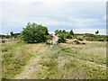
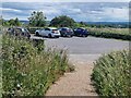
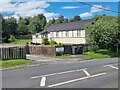
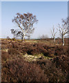
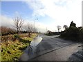
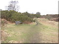
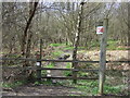
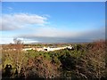
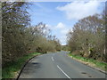
15 photos from this area
Area Information
Key information about the DH2 3TE including its size, population, and administrative classification.
- Area Type
- Postcode
- Area Size
- 2.3 hectares
- Population
- 1638
- Population Density
- 72742 people/km²
House Prices in DH2 3TE
46
Properties
£230,640
Average Sold Price
£89,000
Lowest Price
£600,000
Highest Price
Showing 46 properties
| Address | Type | Beds | Baths | Last Sale Price | Last Sale Date | |
|---|---|---|---|---|---|---|
| 21 Hauxley Drive, Chester Le Street, DH2 3TE | Detached | 5 | 3 | £410,000 | Mar 2025 | |
| 23 Hauxley Drive, Chester Le Street, DH2 3TE | Bungalow | - | - | £342,000 | Nov 2023 | |
| 45 Hauxley Drive, Chester Le Street, DH2 3TE | house | - | - | £375,000 | Mar 2023 | |
| 36 Hauxley Drive, Chester Le Street, DH2 3TE | Bungalow | - | - | £325,000 | Aug 2022 | |
| 8 Hauxley Drive, Chester Le Street, DH2 3TE | house | - | - | £233,000 | Aug 2021 | |
| 37 Hauxley Drive, Chester Le Street, DH2 3TE | Detached | 4 | 2 | £288,000 | Aug 2020 | |
| 34 Hauxley Drive, Chester Le Street, DH2 3TE | Detached | 5 | - | £307,500 | Jun 2017 | |
| 30 Hauxley Drive, Chester Le Street, DH2 3TE | Detached | 5 | 2 | £360,000 | Dec 2016 | |
| 15 Hauxley Drive, Chester Le Street, DH2 3TE | house | - | - | £300,000 | May 2016 | |
| 12 Hauxley Drive, Chester Le Street, DH2 3TE | house | - | - | £238,000 | May 2016 |
Page 1 of 5
Energy Efficiency in DH2 3TE
Amenities
Schools
| Rank | School | Type | Entry gender | Ages |
|---|
Explore more schools in this area
Go to Schools tabDemographics
Household Size
Two person
most common
Accommodation Type
Houses
most common
Tenure
96
majority
Ethnic Group
White
most common
Religion
N/A
most common
Household Composition
N/A
most common
Age
47
median
Adults (30-64 years)
most common
Household Deprivation
N/A
with no deprivation
NS-SEC
47
in Lower managerial occupations
Explore more demographic insights in this area
Go to Demographics tabPlanning
Planning Constraints
- Flood RiskPremium
- Ramsar Wetland SitesPremium
- Area of Outstanding Natural BeautyPremium
- Protected Nature ReservePremium
- Protected WoodlandPremium