Area Overview for DH2 3HG
Photos of DH2 3HG

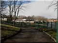
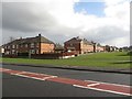
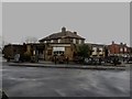
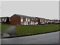

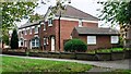
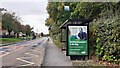
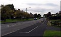
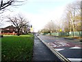
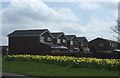
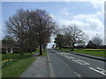
22 photos from this area
Area Information
Key information about the DH2 3HG including its size, population, and administrative classification.
- Area Type
- Postcode
- Area Size
- 1.4 hectares
- Population
- 1435
- Population Density
- 104639 people/km²
House Prices in DH2 3HG
37
Properties
£166,558
Average Sold Price
£140,000
Lowest Price
£218,000
Highest Price
Showing 37 properties
| Address | Type | Beds | Baths | Last Sale Price | Last Sale Date | |
|---|---|---|---|---|---|---|
| 29 Ullswater Road, Chester Le Street, DH2 3HG | house | - | - | £195,000 | May 2025 | |
| 24 Ullswater Road, Chester Le Street, DH2 3HG | house | - | - | £190,000 | Dec 2021 | |
| 21 Ullswater Road, Chester Le Street, DH2 3HG | Semi-detached | 3 | - | £187,000 | Sep 2021 | |
| 13 Ullswater Road, Chester Le Street, DH2 3HG | house | - | - | £185,000 | Aug 2021 | |
| 8 Ullswater Road, Chester Le Street, DH2 3HG | Detached | 4 | 2 | £218,000 | Aug 2021 | |
| 35 Ullswater Road, Chester Le Street, DH2 3HG | Semi-detached | 3 | 1 | £170,000 | Dec 2018 | |
| 37 Ullswater Road, Chester Le Street, DH2 3HG | house | - | - | £150,000 | Sep 2018 | |
| 20 Ullswater Road, Chester Le Street, DH2 3HG | Semi-detached | 3 | 1 | £177,000 | Jul 2018 | |
| 33 Ullswater Road, Chester Le Street, DH2 3HG | house | - | - | £162,100 | Oct 2016 | |
| 39 Ullswater Road, Chester Le Street, DH2 3HG | house | - | - | £145,000 | Jun 2016 |
Page 1 of 4
Energy Efficiency in DH2 3HG
Amenities
Schools
| Rank | School | Type | Entry gender | Ages |
|---|
Explore more schools in this area
Go to Schools tabDemographics
Household Size
Two person
most common
Accommodation Type
Houses
most common
Tenure
95
majority
Ethnic Group
White
most common
Religion
N/A
most common
Household Composition
N/A
most common
Age
47
median
Adults (30-64 years)
most common
Household Deprivation
N/A
with no deprivation
NS-SEC
38
in Lower managerial occupations
Explore more demographic insights in this area
Go to Demographics tabPlanning
Planning Constraints
- Flood RiskPremium
- Ramsar Wetland SitesPremium
- Area of Outstanding Natural BeautyPremium
- Protected Nature ReservePremium
- Protected WoodlandPremium