Area Overview for DH2 2SP
Photos of DH2 2SP
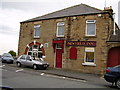
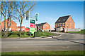
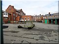
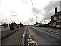
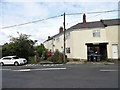
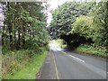
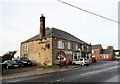
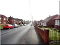
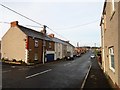
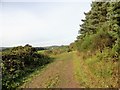
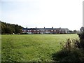
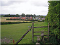
29 photos from this area
Area Information
Key information about the DH2 2SP including its size, population, and administrative classification.
- Area Type
- Postcode
- Area Size
- 1.4 hectares
- Population
- 2455
- Population Density
- 1000 people/km²
House Prices in DH2 2SP
16
Properties
£189,000
Average Sold Price
£120,000
Lowest Price
£295,000
Highest Price
Showing 16 properties
| Address | Type | Beds | Baths | Last Sale Price | Last Sale Date | |
|---|---|---|---|---|---|---|
| 6, Newfield Road, William Street Side, Newfield, DH2 2SP | Retail | 5 | 2 | £295,000 | May 2022 | |
| 4, Newfield Road, William Street Side, Newfield, DH2 2SP | Bungalow | 3 | 1 | £175,000 | Oct 2020 | |
| 3, Newfield Road, William Street Side, Newfield, DH2 2SP | Semi-detached | - | - | £120,000 | Oct 2017 | |
| 1, Newfield Road, William Street Side, Newfield, DH2 2SP | Bungalow | 4 | 3 | £165,000 | Dec 2016 | |
| 8, Newfield Road, William Street Side, Newfield, DH2 2SP | house | 3 | - | £190,000 | Oct 2012 | |
| Cromlea, Newfield Road, Newfield, DH2 2SP | Detached | - | - | - | - | |
| Holmelea, Newfield Road, Newfield, DH2 2SP | Detached | - | - | - | - | |
| Melrose, Newfield Road, Newfield, DH2 2SP | Detached | - | - | - | - | |
| Chez Nous, Newfield Road, Newfield, DH2 2SP | Semi-detached | - | - | - | - | |
| Astars, Newfield Road, Newfield, DH2 2SP | undefined | - | - | - | - |
Page 1 of 2
Energy Efficiency in DH2 2SP
Amenities
Schools
| Rank | School | Type | Entry gender | Ages |
|---|
Explore more schools in this area
Go to Schools tabDemographics
Household Size
Two person
most common
Accommodation Type
Houses
most common
Tenure
78
majority
Ethnic Group
White
most common
Religion
N/A
most common
Household Composition
N/A
most common
Age
47
median
Adults (30-64 years)
most common
Household Deprivation
N/A
with no deprivation
NS-SEC
34
in Lower managerial occupations
Explore more demographic insights in this area
Go to Demographics tabPlanning
Planning Constraints
- Flood RiskPremium
- Ramsar Wetland SitesPremium
- Area of Outstanding Natural BeautyPremium
- Protected Nature ReservePremium
- Protected WoodlandPremium