Area Overview for DH2 2FE
Photos of DH2 2FE
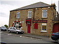
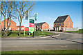
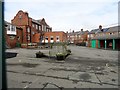
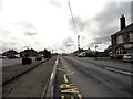
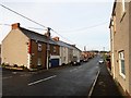
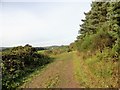
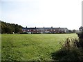
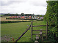
29 photos from this area
Area Information
Key information about the DH2 2FE including its size, population, and administrative classification.
- Area Type
- Postcode
- Area Size
- 2.6 hectares
- Population
- 2455
- Population Density
- 1000 people/km²
House Prices in DH2 2FE
89
Properties
£156,188
Average Sold Price
£94,965
Lowest Price
£230,000
Highest Price
Showing 89 properties
| Address | Type | Beds | Baths | Last Sale Price | Last Sale Date | |
|---|---|---|---|---|---|---|
| 61 Sandringham Way, Newfield, DH2 2FE | Terraced | 3 | 2 | £147,000 | Oct 2025 | |
| 12 Sandringham Way, Newfield, DH2 2FE | Detached | 4 | 2 | £230,000 | Jun 2025 | |
| 14 Sandringham Way, Newfield, DH2 2FE | Semi-detached | 3 | 2 | £158,000 | Sep 2023 | |
| 16 Sandringham Way, Newfield, DH2 2FE | Retail | 3 | 3 | £147,000 | Jun 2022 | |
| 33 Sandringham Way, Newfield, DH2 2FE | Semi-detached | 3 | 3 | £140,000 | Mar 2022 | |
| 46 Sandringham Way, Newfield, DH2 2FE | Semi-detached | 3 | 2 | £117,500 | Jul 2021 | |
| 56 Sandringham Way, Newfield, DH2 2FE | house | - | - | £147,500 | Jul 2021 | |
| 10 Sandringham Way, Newfield, DH2 2FE | Detached | 4 | 3 | £212,500 | Jan 2021 | |
| 65 Sandringham Way, Newfield, DH2 2FE | Terraced | 3 | 3 | £125,000 | May 2020 | |
| 58 Sandringham Way, Newfield, DH2 2FE | Semi-detached | 3 | 2 | £129,950 | Mar 2019 |
Page 1 of 9
Energy Efficiency in DH2 2FE
Amenities
Schools
| Rank | School | Type | Entry gender | Ages |
|---|
Explore more schools in this area
Go to Schools tabDemographics
Household Size
Two person
most common
Accommodation Type
Houses
most common
Tenure
78
majority
Ethnic Group
White
most common
Religion
N/A
most common
Household Composition
N/A
most common
Age
47
median
Adults (30-64 years)
most common
Household Deprivation
N/A
with no deprivation
NS-SEC
34
in Lower managerial occupations
Explore more demographic insights in this area
Go to Demographics tabPlanning
Planning Constraints
- Flood RiskPremium
- Ramsar Wetland SitesPremium
- Area of Outstanding Natural BeautyPremium
- Protected Nature ReservePremium
- Protected WoodlandPremium