Area Overview for DH2 1UW
Photos of DH2 1UW
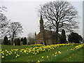
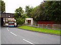
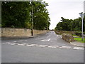
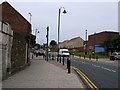
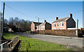
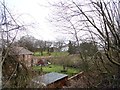
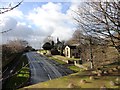
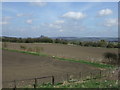
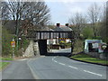
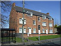

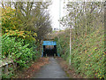
20 photos from this area
Area Information
Key information about the DH2 1UW including its size, population, and administrative classification.
- Area Type
- Postcode
- Area Size
- 8731 m²
- Population
- 2455
- Population Density
- 1000 people/km²
House Prices in DH2 1UW
22
Properties
£117,636
Average Sold Price
£48,000
Lowest Price
£202,000
Highest Price
Showing 22 properties
| Address | Type | Beds | Baths | Last Sale Price | Last Sale Date | |
|---|---|---|---|---|---|---|
| 47 Thornton Lea, Pelton, DH2 1UW | house | - | - | £182,000 | Dec 2022 | |
| 55 Thornton Lea, Pelton, DH2 1UW | house | - | - | £188,000 | Jan 2022 | |
| 54 Thornton Lea, Pelton, DH2 1UW | house | - | - | £202,000 | Jul 2021 | |
| 62 Thornton Lea, Pelton, DH2 1UW | house | - | - | £153,000 | May 2021 | |
| 63 Thornton Lea, Pelton, DH2 1UW | Semi-detached | 2 | 1 | £106,000 | Dec 2019 | |
| 65 Thornton Lea, Pelton, DH2 1UW | Semi-detached | 3 | 1 | £133,000 | Nov 2018 | |
| 64 Thornton Lea, Pelton, DH2 1UW | Semi-detached | 3 | 2 | £122,500 | Apr 2017 | |
| 59 Thornton Lea, Pelton, DH2 1UW | house | 4 | - | £147,000 | Jun 2016 | |
| 66 Thornton Lea, Pelton, DH2 1UW | house | - | - | £150,000 | Mar 2016 | |
| 61 Thornton Lea, Pelton, DH2 1UW | Semi-detached | 2 | 1 | £110,000 | Apr 2015 |
Page 1 of 3
Energy Efficiency in DH2 1UW
Amenities
Schools
| Rank | School | Type | Entry gender | Ages |
|---|
Explore more schools in this area
Go to Schools tabDemographics
Household Size
Two person
most common
Accommodation Type
Houses
most common
Tenure
78
majority
Ethnic Group
White
most common
Religion
N/A
most common
Household Composition
N/A
most common
Age
47
median
Adults (30-64 years)
most common
Household Deprivation
N/A
with no deprivation
NS-SEC
34
in Lower managerial occupations
Explore more demographic insights in this area
Go to Demographics tabPlanning
Planning Constraints
- Flood RiskPremium
- Ramsar Wetland SitesPremium
- Area of Outstanding Natural BeautyPremium
- Protected Nature ReservePremium
- Protected WoodlandPremium