Area Overview for DH2 1FJ
Photos of DH2 1FJ
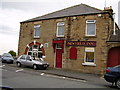
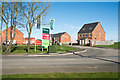
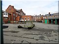
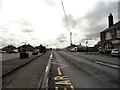
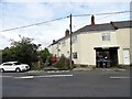
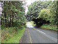
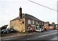
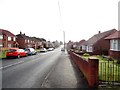
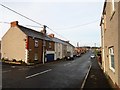
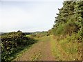
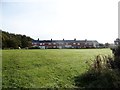
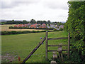
29 photos from this area
Area Information
Key information about the DH2 1FJ including its size, population, and administrative classification.
- Area Type
- Postcode
- Area Size
- 8879 m²
- Population
- 2455
- Population Density
- 1000 people/km²
House Prices in DH2 1FJ
25
Properties
£165,822
Average Sold Price
£23,355
Lowest Price
£306,950
Highest Price
Showing 25 properties
| Address | Type | Beds | Baths | Last Sale Price | Last Sale Date | |
|---|---|---|---|---|---|---|
| 4 Alder Close, High Hold, Pelton, DH2 1FJ | Semi-detached | 3 | 1 | £131,250 | Jul 2022 | |
| 10 Alder Close, High Hold, Pelton, DH2 1FJ | Semi-detached | 3 | 2 | £186,100 | Jul 2022 | |
| 8 Alder Close, High Hold, Pelton, DH2 1FJ | house | - | - | £122,112 | Jun 2022 | |
| 14 Alder Close, High Hold, Pelton, DH2 1FJ | Detached | 3 | 1 | £131,250 | May 2022 | |
| 24 Alder Close, High Hold, Pelton, DH2 1FJ | Detached | 4 | 2 | £306,950 | Dec 2021 | |
| 26 Alder Close, High Hold, Pelton, DH2 1FJ | house | - | - | £262,950 | Dec 2021 | |
| 25 Alder Close, High Hold, Pelton, DH2 1FJ | house | - | - | £299,950 | Dec 2021 | |
| 18 Alder Close, High Hold, Pelton, DH2 1FJ | house | - | - | £28,485 | Oct 2021 | |
| 16 Alder Close, High Hold, Pelton, DH2 1FJ | house | - | - | £23,355 | Oct 2021 | |
| 12 Alder Close, High Hold, Pelton, DH2 1FJ | house | - | - | - | - |
Page 1 of 3
Energy Efficiency in DH2 1FJ
Amenities
Schools
| Rank | School | Type | Entry gender | Ages |
|---|
Explore more schools in this area
Go to Schools tabDemographics
Household Size
Two person
most common
Accommodation Type
Houses
most common
Tenure
78
majority
Ethnic Group
White
most common
Religion
N/A
most common
Household Composition
N/A
most common
Age
47
median
Adults (30-64 years)
most common
Household Deprivation
N/A
with no deprivation
NS-SEC
34
in Lower managerial occupations
Explore more demographic insights in this area
Go to Demographics tabPlanning
Planning Constraints
- Flood RiskPremium
- Ramsar Wetland SitesPremium
- Area of Outstanding Natural BeautyPremium
- Protected Nature ReservePremium
- Protected WoodlandPremium