Area Overview for DH1 2RN
Photos of DH1 2RN

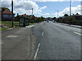
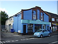
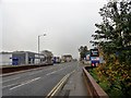
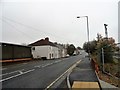
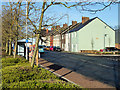
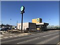

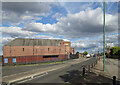
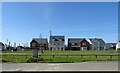
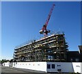
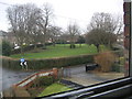
40 photos from this area
Area Information
Key information about the DH1 2RN including its size, population, and administrative classification.
- Area Type
- Postcode
- Area Size
- 2432 m²
- Population
- 1346
- Population Density
- 1647 people/km²
House Prices in DH1 2RN
16
Properties
£100,757
Average Sold Price
£74,500
Lowest Price
£133,040
Highest Price
Showing 16 properties
| Address | Type | Beds | Baths | Last Sale Price | Last Sale Date | |
|---|---|---|---|---|---|---|
| 5 Teasdale Terrace, Dragonville, DH1 2RN | Terraced | 1 | 1 | £120,000 | Aug 2023 | |
| 8 Teasdale Terrace, Dragonville, DH1 2RN | Terraced | 3 | - | £92,000 | Jul 2023 | |
| 11 Teasdale Terrace, Dragonville, DH1 2RN | Terraced | 3 | 1 | £90,000 | May 2022 | |
| 10 Teasdale Terrace, Dragonville, DH1 2RN | Retail | 3 | 1 | £133,040 | Apr 2022 | |
| 12 Teasdale Terrace, Dragonville, DH1 2RN | Detached | 3 | 1 | £74,500 | Feb 2016 | |
| 7 Teasdale Terrace, Dragonville, DH1 2RN | Terraced | 2 | - | £95,000 | Feb 2014 | |
| 14 Teasdale Terrace, Dragonville, DH1 2RN | Detached | - | - | - | - | |
| 18 Teasdale Terrace, Dragonville, DH1 2RN | Detached | - | - | - | - | |
| 16 Teasdale Terrace, Dragonville, DH1 2RN | Detached | - | - | - | - | |
| 17 Teasdale Terrace, Dragonville, DH1 2RN | Detached | - | - | - | - |
Page 1 of 2
Energy Efficiency in DH1 2RN
Amenities
Schools
| Rank | School | Type | Entry gender | Ages |
|---|
Explore more schools in this area
Go to Schools tabDemographics
Household Size
One person
most common
Accommodation Type
Houses
most common
Tenure
50
majority
Ethnic Group
White
most common
Religion
N/A
most common
Household Composition
N/A
most common
Age
47
median
Adults (30-64 years)
most common
Household Deprivation
N/A
with no deprivation
NS-SEC
25
in Lower managerial occupations
Explore more demographic insights in this area
Go to Demographics tabPlanning
Planning Constraints
- Flood RiskPremium
- Ramsar Wetland SitesPremium
- Area of Outstanding Natural BeautyPremium
- Protected Nature ReservePremium
- Protected WoodlandPremium