Area Overview for DH1 2PA
Photos of DH1 2PA
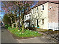
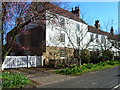
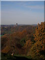
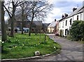
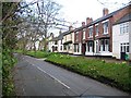
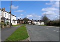
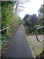
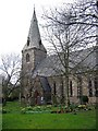
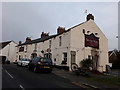
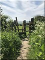
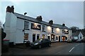
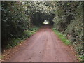
31 photos from this area
Area Information
Key information about the DH1 2PA including its size, population, and administrative classification.
- Area Type
- Postcode
- Area Size
- 15.9 hectares
- Population
- 2363
- Population Density
- 249 people/km²
House Prices in DH1 2PA
8
Properties
£274,583
Average Sold Price
£59,999
Lowest Price
£625,000
Highest Price
Showing 8 properties
| Address | Type | Beds | Baths | Last Sale Price | Last Sale Date | |
|---|---|---|---|---|---|---|
| 8 Willow Tree Avenue, Shincliffe, DH1 2PA | Detached | 3 | 1 | £275,000 | Jun 2025 | |
| Dene Villa, Willow Tree Avenue, Shincliffe, DH1 2PA | Detached | 5 | - | £625,000 | Aug 2018 | |
| Sunniside, 6 Willow Tree Avenue, Shincliffe, DH1 2PA | Detached | - | - | £225,000 | Mar 2004 | |
| Park Farm House, Willow Tree Avenue, Shincliffe, DH1 2PA | house | - | - | £310,500 | Feb 2004 | |
| Park Farm Cottage, Willow Tree Avenue, Shincliffe, DH1 2PA | Detached | - | - | £152,000 | Dec 2003 | |
| 7 Willow Tree Avenue, Shincliffe, DH1 2PA | Semi-detached | - | - | £59,999 | May 1999 | |
| Dene Villa Annexe, Willow Tree Avenue, Shincliffe, DH1 2PA | hotel | - | - | - | - | |
| Park Farm Studio, Willow Tree Avenue, Shincliffe, DH1 2PA | Unknown | - | - | - | - |
Energy Efficiency in DH1 2PA
Amenities
Schools
| Rank | School | Type | Entry gender | Ages |
|---|
Explore more schools in this area
Go to Schools tabDemographics
Household Size
Two person
most common
Accommodation Type
Houses
most common
Tenure
83
majority
Ethnic Group
White
most common
Religion
N/A
most common
Household Composition
N/A
most common
Age
47
median
Adults (30-64 years)
most common
Household Deprivation
N/A
with no deprivation
NS-SEC
55
in Lower managerial occupations
Explore more demographic insights in this area
Go to Demographics tabPlanning
Planning Constraints
- Flood RiskPremium
- Ramsar Wetland SitesPremium
- Area of Outstanding Natural BeautyPremium
- Protected Nature ReservePremium
- Protected WoodlandPremium