Area Overview for DH1 2BE
Photos of DH1 2BE
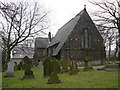
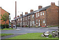
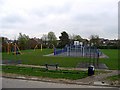
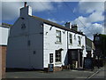

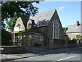
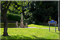
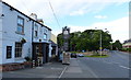
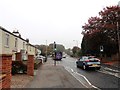
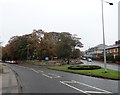
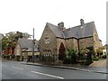
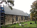
56 photos from this area
Area Information
Key information about the DH1 2BE including its size, population, and administrative classification.
- Area Type
- Postcode
- Area Size
- 2.5 hectares
- Population
- 1803
- Population Density
- 3058 people/km²
House Prices in DH1 2BE
38
Properties
£135,329
Average Sold Price
£51,950
Lowest Price
£227,000
Highest Price
Showing 38 properties
| Address | Type | Beds | Baths | Last Sale Price | Last Sale Date | |
|---|---|---|---|---|---|---|
| 55 Buckinghamshire Road, Belmont, DH1 2BE | house | 3 | 1 | £227,000 | Dec 2024 | |
| 94 Buckinghamshire Road, Belmont, DH1 2BE | house | - | - | £199,995 | Nov 2021 | |
| 77 Buckinghamshire Road, Belmont, DH1 2BE | house | - | - | £160,000 | Oct 2020 | |
| 65 Buckinghamshire Road, Belmont, DH1 2BE | Detached | 3 | 1 | £174,000 | Sep 2020 | |
| 81 Buckinghamshire Road, Belmont, DH1 2BE | house | - | - | £146,000 | Aug 2016 | |
| 96 Buckinghamshire Road, Belmont, DH1 2BE | house | 4 | 2 | £175,000 | Jun 2015 | |
| 73 Buckinghamshire Road, Belmont, DH1 2BE | house | - | - | £124,995 | Nov 2014 | |
| 82 Buckinghamshire Road, Belmont, DH1 2BE | house | 3 | 1 | £120,000 | Oct 2013 | |
| 53 Buckinghamshire Road, Belmont, DH1 2BE | house | 4 | 2 | £205,000 | Aug 2012 | |
| 66 Buckinghamshire Road, Belmont, DH1 2BE | house | - | - | £146,000 | Jun 2005 |
Page 1 of 4
Energy Efficiency in DH1 2BE
Amenities
Schools
| Rank | School | Type | Entry gender | Ages |
|---|
Explore more schools in this area
Go to Schools tabDemographics
Household Size
Two person
most common
Accommodation Type
Houses
most common
Tenure
91
majority
Ethnic Group
White
most common
Religion
N/A
most common
Household Composition
N/A
most common
Age
47
median
Adults (30-64 years)
most common
Household Deprivation
N/A
with no deprivation
NS-SEC
45
in Lower managerial occupations
Explore more demographic insights in this area
Go to Demographics tabPlanning
Planning Constraints
- Flood RiskPremium
- Ramsar Wetland SitesPremium
- Area of Outstanding Natural BeautyPremium
- Protected Nature ReservePremium
- Protected WoodlandPremium