Area Overview for DH1 1QN
Photos of DH1 1QN
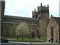
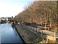
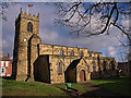
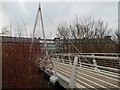
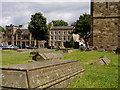
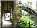
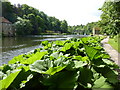
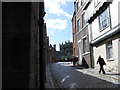
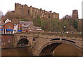
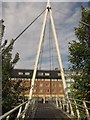
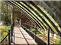
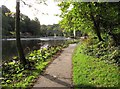
100 photos from this area
Area Information
Key information about the DH1 1QN including its size, population, and administrative classification.
- Area Type
- Postcode
- Area Size
- 1.6 hectares
- Population
- 1552
- Population Density
- 3584 people/km²
House Prices in DH1 1QN
26
Properties
£417,997
Average Sold Price
£210,000
Lowest Price
£765,000
Highest Price
Showing 26 properties
| Address | Type | Beds | Baths | Last Sale Price | Last Sale Date | |
|---|---|---|---|---|---|---|
| 194 Gilesgate, Durham, DH1 1QN | Terraced | 4 | 1 | £550,000 | Mar 2025 | |
| 201 Gilesgate, Durham, DH1 1QN | Semi-detached | 4 | 1 | £585,000 | Mar 2025 | |
| 198 Gilesgate, Durham, DH1 1QN | house | - | - | £665,000 | Feb 2025 | |
| 215 Gilesgate, Durham, DH1 1QN | Terraced | 4 | 2 | £458,000 | May 2022 | |
| 199 Gilesgate, Durham, DH1 1QN | Terraced | - | - | £385,000 | Feb 2022 | |
| 210 Gilesgate, Durham, DH1 1QN | house | - | - | £450,000 | Feb 2021 | |
| 195 Gilesgate, Durham, DH1 1QN | Terraced | 5 | 1 | £300,000 | Oct 2019 | |
| 214 Gilesgate, Durham, DH1 1QN | house | - | - | £450,000 | Dec 2018 | |
| 211 Gilesgate, Durham, DH1 1QN | Terraced | 4 | - | £405,000 | Feb 2017 | |
| 212-212-A Gilesgate, Durham, DH1 1QN | Terraced | 11 | 10 | £765,000 | Aug 2014 |
Page 1 of 3
Energy Efficiency in DH1 1QN
Amenities
Schools
| Rank | School | Type | Entry gender | Ages |
|---|
Explore more schools in this area
Go to Schools tabDemographics
Household Size
Two person
most common
Accommodation Type
Houses
most common
Tenure
55
majority
Ethnic Group
White
most common
Religion
N/A
most common
Household Composition
N/A
most common
Age
22
median
Young Adults (15-29 years)
most common
Household Deprivation
N/A
with no deprivation
NS-SEC
21
in Lower managerial occupations
Explore more demographic insights in this area
Go to Demographics tabPlanning
Planning Constraints
- Flood RiskPremium
- Ramsar Wetland SitesPremium
- Area of Outstanding Natural BeautyPremium
- Protected Nature ReservePremium
- Protected WoodlandPremium