Area Overview for DH1 1HD
Photos of DH1 1HD
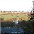
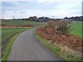
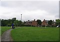
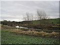
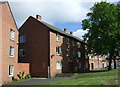
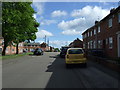
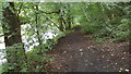
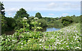
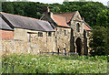
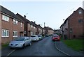
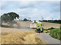
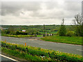
31 photos from this area
Area Information
Key information about the DH1 1HD including its size, population, and administrative classification.
- Area Type
- Postcode
- Area Size
- 1.5 hectares
- Population
- Not available
- Population Density
- Not available
House Prices in DH1 1HD
30
Properties
£155,570
Average Sold Price
£900
Lowest Price
£265,000
Highest Price
Showing 30 properties
| Address | Type | Beds | Baths | Last Sale Price | Last Sale Date | |
|---|---|---|---|---|---|---|
| 28 Monks Crescent, Gilesgate, DH1 1HD | Bungalow | 2 | 1 | £210,000 | Jul 2024 | |
| 7 Monks Crescent, Gilesgate, DH1 1HD | Semi-detached | 3 | 1 | £197,500 | Feb 2024 | |
| 2 Monks Crescent, Gilesgate, DH1 1HD | Semi-detached | 3 | - | £180,000 | Feb 2024 | |
| 8 Monks Crescent, Gilesgate, DH1 1HD | Semi-detached | 3 | 1 | £225,000 | Oct 2023 | |
| 36 Monks Crescent, Gilesgate, DH1 1HD | Semi-detached | 2 | 1 | £170,000 | Jan 2023 | |
| 9 Monks Crescent, Gilesgate, DH1 1HD | Semi-detached | 3 | - | £215,000 | Dec 2022 | |
| 5 Monks Crescent, Gilesgate, DH1 1HD | house | - | - | £210,000 | Nov 2022 | |
| 17-19 Monks Crescent, Gilesgate, DH1 1HD | house | 3 | 1 | £132,500 | Jul 2022 | |
| 32 Monks Crescent, Gilesgate, DH1 1HD | Bungalow | - | - | £184,000 | Jul 2022 | |
| 19 Monks Crescent, Gilesgate, DH1 1HD | Semi-detached | 3 | 1 | £140,000 | Feb 2022 |
Page 1 of 3
Energy Efficiency in DH1 1HD
Amenities
Schools
| Rank | School | Type | Entry gender | Ages |
|---|
Explore more schools in this area
Go to Schools tabDemographics
Household Size
Two person
most common
Accommodation Type
Houses
most common
Tenure
86
majority
Ethnic Group
White
most common
Religion
N/A
most common
Household Composition
N/A
most common
Age
47
median
Adults (30-64 years)
most common
Household Deprivation
N/A
with no deprivation
NS-SEC
44
in Lower managerial occupations
Explore more demographic insights in this area
Go to Demographics tabPlanning
Planning Constraints
- Flood RiskPremium
- Ramsar Wetland SitesPremium
- Area of Outstanding Natural BeautyPremium
- Protected Nature ReservePremium
- Protected WoodlandPremium