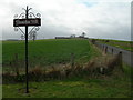
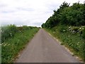
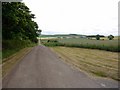
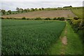
Area Overview for Branxton
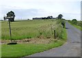
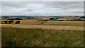
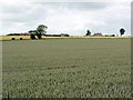
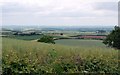
Photos of Branxton
Area Information
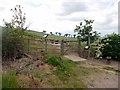
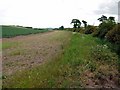
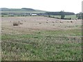
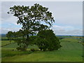
Living in Branxton means calling a small civil parish home, covering a modest area of 6.1 square kilometres. You can expect a distinctly quiet life here, far removed from the noise of larger towns. The parish offers a defined space for residents who value simplicity and proximity to the countryside. Because the area is so small, daily routines rely heavily on local amenities rather than travel to major urban centres. This setting suits those seeking a retreat from busy city life without being entirely isolated. The community character is shaped by its historical roots as a parish, suggesting a deep connection to local tradition. You walk through an environment where every street corner is connected. The scale of the parish ensures that trips to the village centre are quick and manageable. This proximity creates a neighbourhood feel that larger developments cannot replicate. Your evenings and weekends will likely revolve around local events or quiet walks within the parish boundaries. For a homebuyer, Branxton represents a specific type of lifestyle choice. It is not a place for rush-hour commuting or vibrant nightlife. Instead, it focuses on the peace of a rural existence within the county of England. The restricted footprint of the land means property options are concentrated. You must choose your location carefully, as there is limited scope for sprawl. This constraint often preserves the green spaces and character that define the parish.
- Area Type
- Parish
- Area Size
- 6.1 km²
- Population
- Not available
- Population Density
- Not available
Demographics
The people of Branxton form a community with a clearly defined age profile. The median age in the parish is 70, indicating an area populated primarily by older residents. This demographic fact shapes the daily rhythm of life, with services and social activities likely tailored to an older population base. The high median age suggests that Branxton is not a destination for young families or recent graduates seeking their first steps in the property market. Households in Branxton display a specific pattern of tenure, with 48% of residents owning their homes outright. This figure surpasses the 50% mark when comparing to many rental-heavy urban districts, yet it remains slightly under the majority. Consequently, nearly half of the housing stock consists of rented properties or properties owned with mortgages. This balance creates a mixed community where long-term residents share space with those navigating the ladder to ownership. The population structure does not show a dominance of children or young professionals. Instead, the area caters to retirees or those in later life stages. This concentration influences the demand for local services, which are geared towards health and leisure rather than education or nightlife. The household composition reflects a society where stability and established ties are the norm. For anyone considering Branxton, you must accept that the cultural fabric is woven from the threads of an older generation.
Household Size
Accommodation Type
Tenure
Ethnic Group
Religion
Household Composition
Age
Household Deprivation
NS-SEC
Explore more demographic insights in this area
Go to Demographics tabPlanning
Planning Constraints
- Flood RiskPremium
- Ramsar Wetland SitesPremium
- Area of Outstanding Natural BeautyPremium
- Protected Nature ReservePremium
- Protected WoodlandPremium
- Crime RiskPremium