Area Overview for Battle Hill Ward
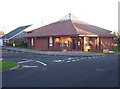
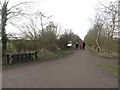
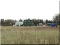
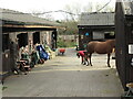
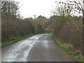
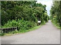
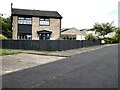
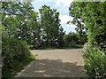
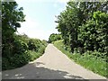
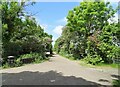
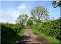
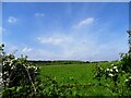
Photos of Battle Hill Ward
Area Information
Living in Battle Hill Ward offers a defined slice of North Tyneside with a clear footprint and a stable community. This district ward covers an area of 4.3 square kilometres and holds a recorded population of 4,227 residents. The ward functions as a metropolitan district unit within the North Tyneside Borough Council structure, positioning it at coordinates 55.012499763250204, -1.5243547702775742 for precise geographical navigation. You will find a population density of 977 people per square kilometre, which indicates a moderately compact living environment without the intense pressure of high-density urban cores. Daily life here revolves around a close-knit demographic where long-term residents form the backbone of the local scene. The ward represents a specific pocket of England with distinct characteristics rather than a sprawling municipality. Prospective buyers considering homes in Battle Hill Ward are entering a zone defined by these measurable parameters. The total electorate stands at 8,017 according to 2024 estimates, reflecting a significant pool of registered voters within this specific geographic boundary. This area serves as a functional residential unit for the borough, offering residents a predictable environment where local governance and services are administered under a consistent framework.
- Area Type
- District Borough Unitary Ward
- Area Size
- 4.3 km²
- Population
- 4227
- Population Density
- 977 people/km²
Demographics
The community in Battle Hill Ward is defined by a significant elderly population, making it a distinct demographic hub in North Tyneside. The median age for residents here is 70 years, indicating that the typical household is managed by older adults. This age profile suggests a quiet neighbourhood where daily life may centre around leisure, pensions, and established routines rather than young families or career climbers. The most common age range data indicates a total demographic spread, confirming that while the median is high, the ward contains a mixture of ages typical of an established residential area. Home ownership rates stand at a robust 67 percent, which characterises Battle Hill Ward as a location where residents prefer to tie themselves down to a permanent address. A score of 67 percent means more than two out of every three properties are privately owned, contrasting sharply with the rental-heavy landscapes common in major city centres. This high level of tenure suggests stability and a community invested in local improvement for the long term. Household composition data covers the total population, reflecting a diversity of living arrangements from single households to multi-generational homes. Accommodation type statistics cover the total housing stock, revealing the mix of property styles available for those living in Battle Hill Ward. Ethnically, the predominant group covers the total population, signalling a majority profile without highlighting specific minority percentages that are not recorded in the current dataset. The religious makeup similarly covers the total population, reflecting standard regional patterns for this demographic. These figures collectively paint a picture of a mature, predominantly owner-occupied community where the social fabric is rooted in longevity and stability rather than transient living arrangements.
Household Size
Accommodation Type
Tenure
Ethnic Group
Religion
Household Composition
Age
Household Deprivation
NS-SEC
Explore more demographic insights in this area
Go to Demographics tabPlanning
Planning Constraints
- Flood RiskPremium
- Ramsar Wetland SitesPremium
- Area of Outstanding Natural BeautyPremium
- Protected Nature ReservePremium
- Protected WoodlandPremium
- Crime RiskPremium