Area Overview for Barforth
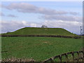
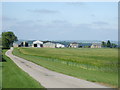
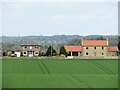
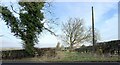
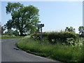
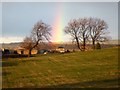
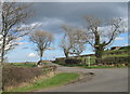
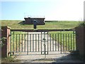
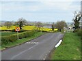
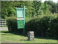
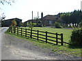
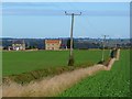
Photos of Barforth
Area Information
Barforth is a small civil parish located in England, covering a total area of 7.1 km². You are looking at a compact community defined by its rural character and relatively isolated geography. The land size suggests a sparse distribution of housing rather than dense urban development. Living in Barforth means embracing a quiet environment where local amenities are limited and distances between services can be significant. There are no record of outstanding natural beauty designations or protected wetlands within the parish boundaries, which keeps planning constraints relatively low for future developments. However, the absence of broader natural protections like AONB status does not guarantee extensive formal conservation zones across the entire 7.1 km². The area contains specific pockets of protected woodland, which acts as a deliberate planning constraint on development in those locations. Residents here should expect a neighbourhood shaped by these specific geographical features rather than large-scale protected landscapes. Daily life is likely centred on local village centres or paths leading away from built-up zones.
- Area Type
- Parish
- Area Size
- 7.1 km²
- Population
- Not available
- Population Density
- Not available
Demographics
The community in Barforth is distinctly mature, with a median age of 70 years old. This figure indicates that the parish is dominated by older residents rather than families or young professionals. The most common age range recorded is simply listed as total, but the high median age is the defining demographic feature of this parish. With 70% of residents owning their homes, you are moving into an area of high equity ownership. This level of home ownership suggests a settled population where people have stayed for extended periods. Very few families with children reside here, which shapes the social fabric towards retirees or empty nesters. Ethnic diversity data is not explicitly detailed in the available records, so the population likely mirrors the broader northern English profile typical for such areas. Religious affiliation data is also absent from the specific records for Barforth, meaning you cannot assume particular chapel or church attendance rates. The household composition reflects this older demographic, with bigger families unlikely to form the core of the local residential picture.
Household Size
Accommodation Type
Tenure
Ethnic Group
Religion
Household Composition
Age
Household Deprivation
NS-SEC
Explore more demographic insights in this area
Go to Demographics tabPlanning
Planning Constraints
- Flood RiskPremium
- Ramsar Wetland SitesPremium
- Area of Outstanding Natural BeautyPremium
- Protected Nature ReservePremium
- Protected WoodlandPremium
- Crime RiskPremium