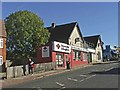
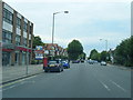
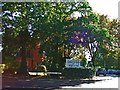
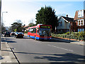
Area Overview for Whetstone Ward
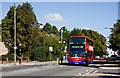
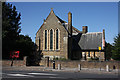
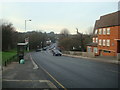
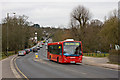
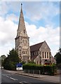
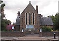
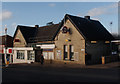
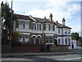
Photos of Whetstone Ward
Area Information
Living in Whetstone Ward offers a defined community experience within a compact footprint. You are considering a district with a total area size of just 2.4 km², which means street networks are tight-knit and local routes are easily navigable. The population stands at 3,459 residents, creating an environment that feels familiar yet retains the independence of suburban living. This density results in a population density of 1,449 people per square kilometre, ensuring services and neighbours are within easy reach without the congestion of high-density city living. The ward represents a settled section of London where daily life revolves around established routines and proximity to amenities. With a strong majority of households owning their homes, the community character tends towards stability. The character of Whetstone Ward is defined by these concrete metrics rather than vague descriptors. It is an area where residents value certainty and locality. If you are looking for a place where the street map is manageable and the community is focused, this 2.4 km² area provides that specific scale. You will find a neighbourhood that balances urban access with contained living spaces.
- Area Type
- District Borough Unitary Ward
- Area Size
- 2.4 km²
- Population
- 3459
- Population Density
- 1449 people/km²
Demographics
The community profile in Whetstone Ward points to a mature demographic structure. The median age is 70 years, indicating that the primary residents are older adults. This age profile influences the local demand for healthcare, leisure facilities, and accessible housing within the ward. You will find that the majority of people residing here fall into the category of senior citizens, which shapes the social rhythm of the area. Home ownership remains the dominant living arrangement in Whetstone Ward. Data shows that 64% of households own their homes outright or with a mortgage. This high rate of ownership suggests a community invested in long-term stability rather than transient tenancies. The household composition data reflects a settled population without significant indication of rapidly changing tenant turnover. Ethnic and religious data in the provided records are not detailed, but the high ownership rate confirms a deeply rooted community structure. This demographic snapshot matters for your decision on buying properties in Whetstone Ward. The area functions as a retirement-friendly neighbourhood where neighbours have lived together for decades. The 64% ownership figure means you are entering a market defined by legacy buyers. When evaluating schools near Whetstone Ward, you must consider that the primary catchment focuses on families with children, which contrasts with the age profile of the current residents. This mix offers a unique social dynamic within the ward's 2.4 km² boundary.
Household Size
Accommodation Type
Tenure
Ethnic Group
Religion
Household Composition
Age
Household Deprivation
NS-SEC
Explore more demographic insights in this area
Go to Demographics tabPlanning
Planning Constraints
- Flood RiskPremium
- Ramsar Wetland SitesPremium
- Area of Outstanding Natural BeautyPremium
- Protected Nature ReservePremium
- Protected WoodlandPremium
- Crime RiskPremium