Area Overview for Wanstead Village Ward
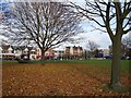
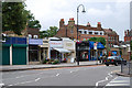
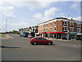
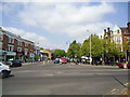
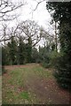
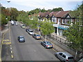
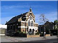
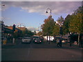
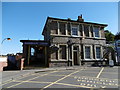
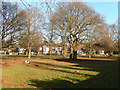
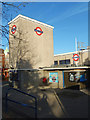
Photos of Wanstead Village Ward

Area Information
Living in Wanstead Village Ward involves inhabiting a compact district where space and community intersect. This ward occupies just 2.3 km², creating an intensely localised environment within the borough of Redbridge, England. The sheer density of 793 people per square kilometre suggests close-knit interactions, yet the residential footprint supports a modest population of 1,824 residents. Such a small geographic area combined with a limited population size means daily life revolves around immediate surroundings rather than sprawling suburbs. You will find that distances to local amenities are short, fostering a neighbourhood where residents know one another. The ward's character is defined by its scale, which balances urban convenience with a village-like atmosphere. Prospective buyers considering homes in Wanstead Village Ward should understand that they are entering a setting where community dynamics are amplified by limited physical space. This environment suits those who value proximity over extensive green belts or large private gardens. The ward represents a concentrated slice of wider London life, where the boundaries between home and public space are frequently crossed. Your daily routine here will be shaped by the tight-knit nature of a population density nearly 800 times greater than the average leafy rural village, yet within a major metropolitan context.
- Area Type
- District Borough Unitary Ward
- Area Size
- 2.3 km²
- Population
- 1824
- Population Density
- 793 people/km²
Demographics
The community profile of Wanstead Village Ward is distinct, dominated by a mature demographic. Residents here have a median age of 70 years, indicating a population heavily skewed towards older adults. This age distribution suggests the area serves a retirement community or attracts older couples seeking a quieter lifestyle. Home ownership stands at 58%, meaning more than half of the households own their homes outright or with a mortgage, while the remaining 42% are likely renting. This ownership rate reflects a settled population rather than a transient student or commuter market. The ward appears racially and ethnically homogeneous based on the predominant ethnic group data, though specific percentage breakdowns are not detailed. Religious affiliation similarly follows a standard total distribution without notable minority concentrations. The household composition relies on older residents, which supports local services geared towards seniors. You can expect a neighbourhood where tradition and stability characterise daily interactions. The accommodation type data confirms a standard mix of dwelling styles typical for this age group. Living in Wanstead Village Ward means joining a community where longevity and ownership define the social fabric, offering a stable environment distinct from younger, rental-heavy districts nearby.
Household Size
Accommodation Type
Tenure
Ethnic Group
Religion
Household Composition
Age
Household Deprivation
NS-SEC
Explore more demographic insights in this area
Go to Demographics tabPlanning
Planning Constraints
- Flood RiskPremium
- Ramsar Wetland SitesPremium
- Area of Outstanding Natural BeautyPremium
- Protected WoodlandPremium
- Crime RiskPremium