Area Overview for W9 2RB
Photos of W9 2RB
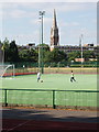
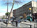
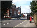
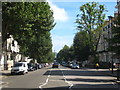
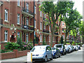
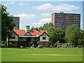
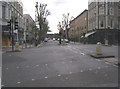
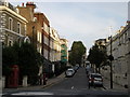
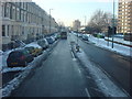
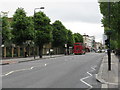
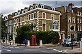
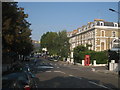
100 photos from this area
Area Information
Key information about the W9 2RB including its size, population, and administrative classification.
- Area Type
- Postcode
- Area Size
- 3775 m²
- Population
- 1878
- Population Density
- 22627 people/km²
House Prices in W9 2RB
24
Properties
£364,000
Average Sold Price
£239,000
Lowest Price
£500,000
Highest Price
Showing 24 properties
| Address | Type | Beds | Baths | Last Sale Price | Last Sale Date | |
|---|---|---|---|---|---|---|
| 32 Aldsworth Close, London, W9 2RB | Flat | - | - | £500,000 | Feb 2024 | |
| 37 Aldsworth Close, London, W9 2RB | Maisonette | 3 | 2 | £438,000 | Jun 2013 | |
| 47 Aldsworth Close, London, W9 2RB | Maisonette | - | - | £400,000 | Mar 2011 | |
| 44 Aldsworth Close, London, W9 2RB | Flat | 1 | 1 | £239,000 | Feb 2010 | |
| 35 Aldsworth Close, London, W9 2RB | Flat | 3 | 2 | £381,000 | Jan 2009 | |
| 41 Aldsworth Close, London, W9 2RB | Maisonette | 3 | 2 | £370,000 | Dec 2008 | |
| 43 Aldsworth Close, London, W9 2RB | Flat | - | - | £425,000 | Nov 2007 | |
| 48 Aldsworth Close, London, W9 2RB | Flat | 1 | 1 | £243,000 | Jun 2006 | |
| 45 Aldsworth Close, London, W9 2RB | Maisonette | - | - | £280,000 | Sep 2002 | |
| 46 Aldsworth Close, London, W9 2RB | Flat | - | - | - | - |
Page 1 of 3
Energy Efficiency in W9 2RB
Amenities
Schools
| Rank | School | Type | Entry gender | Ages |
|---|
Explore more schools in this area
Go to Schools tabDemographics
Household Size
Family (3-5 people)
most common
Accommodation Type
Flats
most common
Tenure
13
majority
Ethnic Group
White
most common
Religion
N/A
most common
Household Composition
N/A
most common
Age
47
median
Adults (30-64 years)
most common
Household Deprivation
N/A
with no deprivation
NS-SEC
23
in Lower managerial occupations
Explore more demographic insights in this area
Go to Demographics tabPlanning
Planning Constraints
- Flood RiskPremium
- Ramsar Wetland SitesPremium
- Area of Outstanding Natural BeautyPremium
- Protected Nature ReservePremium
- Protected WoodlandPremium