Area Overview for W8 5QQ
Photos of W8 5QQ
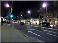
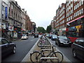
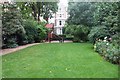
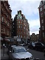
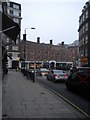
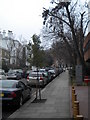
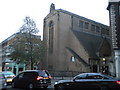
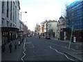
100 photos from this area
Area Information
Key information about the W8 5QQ including its size, population, and administrative classification.
- Area Type
- Postcode
- Area Size
- 4721 m²
- Population
- 1398
- Population Density
- 8899 people/km²
House Prices in W8 5QQ
12
Properties
£5,461,180
Average Sold Price
£487,500
Lowest Price
£30,000,000
Highest Price
Showing 12 properties
| Address | Type | Beds | Baths | Last Sale Price | Last Sale Date | |
|---|---|---|---|---|---|---|
| 42 Kelso Place, London, W8 5QQ | Terraced | 2 | 2 | £530,000 | Dec 2024 | |
| 52 Kelso Place, London, W8 5QQ | Semi-detached | - | - | £30,000,000 | Apr 2022 | |
| 43 Kelso Place, London, W8 5QQ | Flat | 2 | 2 | £550,000 | Sep 2012 | |
| 49 Kelso Place, London, W8 5QQ | Terraced | 2 | 2 | £684,580 | May 2011 | |
| 48 Kelso Place, London, W8 5QQ | Terraced | 1 | 1 | £487,500 | Dec 2006 | |
| 50 Kelso Place, London, W8 5QQ | Terraced | 2 | 1 | £515,000 | Sep 2005 | |
| 47 Kelso Place, London, W8 5QQ | Terraced | 2 | 2 | - | - | |
| 45-46 Kelso Place, London, W8 5QQ | Terraced | 7 | 7 | - | - | |
| 40-41 Kelso Place, London, W8 5QQ | Terraced | 3 | 2 | - | - | |
| 51-53 Kelso Place, London, W8 5QQ | house | 8 | - | - | - |
Page 1 of 2
Energy Efficiency in W8 5QQ
Amenities
Schools
| Rank | School | Type | Entry gender | Ages |
|---|
Explore more schools in this area
Go to Schools tabDemographics
Household Size
Two person
most common
Accommodation Type
Houses
most common
Tenure
56
majority
Ethnic Group
White
most common
Religion
N/A
most common
Household Composition
N/A
most common
Age
47
median
Adults (30-64 years)
most common
Household Deprivation
N/A
with no deprivation
NS-SEC
58
in Lower managerial occupations
Explore more demographic insights in this area
Go to Demographics tabPlanning
Planning Constraints
- Flood RiskPremium
- Ramsar Wetland SitesPremium
- Area of Outstanding Natural BeautyPremium
- Protected Nature ReservePremium
- Protected WoodlandPremium