Area Overview for W7 3DW
Photos of W7 3DW
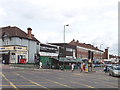
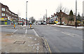
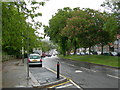
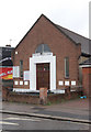
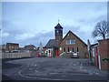
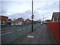
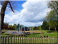
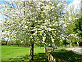
63 photos from this area
Area Information
Key information about the W7 3DW including its size, population, and administrative classification.
- Area Type
- Postcode
- Area Size
- 10.7 hectares
- Population
- 1720
- Population Density
- 3637 people/km²
House Prices in W7 3DW
41
Properties
£296,878
Average Sold Price
£60,000
Lowest Price
£750,000
Highest Price
Showing 41 properties
| Address | Type | Beds | Baths | Last Sale Price | Last Sale Date | |
|---|---|---|---|---|---|---|
| 14 Brookbank Avenue, Hanwell, W7 3DW | Terraced | 3 | 2 | £650,000 | Oct 2023 | |
| 18 Brookbank Avenue, Hanwell, W7 3DW | Semi-detached | 5 | 2 | £750,000 | Aug 2022 | |
| 4 Brookbank Avenue, Hanwell, W7 3DW | house | 3 | - | £565,000 | Mar 2021 | |
| 36 Brookbank Avenue, Hanwell, W7 3DW | house | 3 | 1 | £565,000 | Oct 2020 | |
| 52 Brookbank Avenue, Hanwell, W7 3DW | Terraced | 4 | 2 | £725,000 | Aug 2019 | |
| 38 Brookbank Avenue, Hanwell, W7 3DW | house | - | - | £570,000 | Aug 2018 | |
| 22 Brookbank Avenue, Hanwell, W7 3DW | Detached | 3 | - | £432,500 | Jun 2014 | |
| 62 Brookbank Avenue, Hanwell, W7 3DW | Terraced | 5 | 2 | £337,000 | Jul 2011 | |
| 10 Brookbank Avenue, Hanwell, W7 3DW | house | 3 | - | £365,000 | Apr 2011 | |
| 54 Brookbank Avenue, Hanwell, W7 3DW | house | 3 | - | £335,000 | May 2010 |
Page 1 of 5
Energy Efficiency in W7 3DW
Amenities
Schools
| Rank | School | Type | Entry gender | Ages |
|---|
Explore more schools in this area
Go to Schools tabDemographics
Household Size
Family (3-5 people)
most common
Accommodation Type
Houses
most common
Tenure
70
majority
Ethnic Group
White
most common
Religion
N/A
most common
Household Composition
N/A
most common
Age
47
median
Adults (30-64 years)
most common
Household Deprivation
N/A
with no deprivation
NS-SEC
35
in Lower managerial occupations
Explore more demographic insights in this area
Go to Demographics tabPlanning
Planning Constraints
- Flood RiskPremium
- Ramsar Wetland SitesPremium
- Area of Outstanding Natural BeautyPremium
- Protected Nature ReservePremium
- Protected WoodlandPremium