Area Overview for W7 3BJ
Photos of W7 3BJ
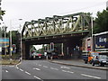
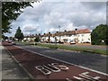
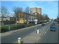
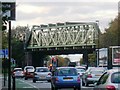
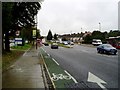
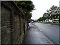
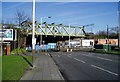
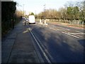
100 photos from this area
Area Information
Key information about the W7 3BJ including its size, population, and administrative classification.
- Area Type
- Postcode
- Area Size
- 5.3 hectares
- Population
- 2050
- Population Density
- 4044 people/km²
House Prices in W7 3BJ
26
Properties
£916,833
Average Sold Price
£248,000
Lowest Price
£2,435,000
Highest Price
Showing 26 properties
| Address | Type | Beds | Baths | Last Sale Price | Last Sale Date | |
|---|---|---|---|---|---|---|
| Spring Cottage, 99 Church Road, Hanwell, W7 3BJ | Retail | 6 | 3 | £2,435,000 | Dec 2022 | |
| 113 Church Road, Hanwell, W7 3BJ | Bungalow | - | - | £810,000 | Nov 2022 | |
| 93 Church Road, Hanwell, W7 3BJ | house | - | - | £1,280,000 | Mar 2021 | |
| 127 Church Road, Hanwell, W7 3BJ | house | - | - | £1,200,000 | Nov 2015 | |
| 115 Church Road, Hanwell, W7 3BJ | house | 4 | - | £605,000 | Sep 2011 | |
| 119 Church Road, Hanwell, W7 3BJ | house | - | - | £653,500 | Jan 2010 | |
| 103 Church Road, Hanwell, W7 3BJ | Semi-detached | - | - | £500,000 | Aug 2007 | |
| 109 Church Road, Hanwell, W7 3BJ | Detached | - | - | £520,000 | Aug 2004 | |
| 111 Church Road, Hanwell, W7 3BJ | Detached | - | - | £248,000 | Jan 1998 | |
| 125 Church Road, Hanwell, W7 3BJ | Detached | 4 | 2 | - | - |
Page 1 of 3
Energy Efficiency in W7 3BJ
Amenities
Schools
| Rank | School | Type | Entry gender | Ages |
|---|
Explore more schools in this area
Go to Schools tabDemographics
Household Size
Family (3-5 people)
most common
Accommodation Type
Flats
most common
Tenure
49
majority
Ethnic Group
White
most common
Religion
N/A
most common
Household Composition
N/A
most common
Age
47
median
Adults (30-64 years)
most common
Household Deprivation
N/A
with no deprivation
NS-SEC
46
in Lower managerial occupations
Explore more demographic insights in this area
Go to Demographics tabPlanning
Planning Constraints
- Flood RiskPremium
- Ramsar Wetland SitesPremium
- Area of Outstanding Natural BeautyPremium
- Protected Nature ReservePremium
- Protected WoodlandPremium