Area Overview for W7 2HF
Photos of W7 2HF
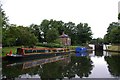
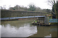
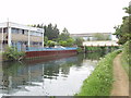
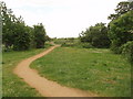
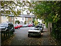
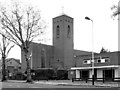
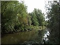
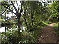
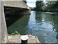
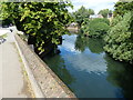
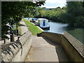
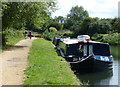
100 photos from this area
Area Information
Key information about the W7 2HF including its size, population, and administrative classification.
- Area Type
- Postcode
- Area Size
- 9967 m²
- Population
- 1747
- Population Density
- 8331 people/km²
House Prices in W7 2HF
54
Properties
£449,974
Average Sold Price
£83,000
Lowest Price
£830,000
Highest Price
Showing 54 properties
| Address | Type | Beds | Baths | Last Sale Price | Last Sale Date | |
|---|---|---|---|---|---|---|
| 60 St Margarets Road, Hanwell, W7 2HF | Terraced | 3 | 2 | £775,000 | Sep 2025 | |
| 32 St Margarets Road, Hanwell, W7 2HF | Terraced | 3 | 1 | £675,000 | Aug 2025 | |
| 58 St Margarets Road, Hanwell, W7 2HF | Terraced | 2 | 1 | £600,000 | Feb 2025 | |
| 92 St Margarets Road, Hanwell, W7 2HF | Terraced | 3 | 2 | £830,000 | Feb 2025 | |
| 110C St Margarets Road, Hanwell, W7 2HF | Terraced | 2 | 1 | £515,000 | Jul 2023 | |
| 110A St Margarets Road, Hanwell, W7 2HF | Flat | - | - | £460,000 | Jun 2021 | |
| 88 St Margarets Road, Hanwell, W7 2HF | house | - | - | £780,000 | Jun 2021 | |
| 62 St Margarets Road, Hanwell, W7 2HF | Terraced | 2 | 1 | £560,000 | Mar 2021 | |
| 106 St Margarets Road, Hanwell, W7 2HF | house | - | - | £630,000 | Feb 2021 | |
| 44 St Margarets Road, Hanwell, W7 2HF | house | 2 | 1 | £625,000 | Jan 2021 |
Page 1 of 6
Energy Efficiency in W7 2HF
Amenities
Schools
| Rank | School | Type | Entry gender | Ages |
|---|
Explore more schools in this area
Go to Schools tabDemographics
Household Size
Family (3-5 people)
most common
Accommodation Type
Houses
most common
Tenure
63
majority
Ethnic Group
White
most common
Religion
N/A
most common
Household Composition
N/A
most common
Age
47
median
Adults (30-64 years)
most common
Household Deprivation
N/A
with no deprivation
NS-SEC
46
in Lower managerial occupations
Explore more demographic insights in this area
Go to Demographics tabPlanning
Planning Constraints
- Flood RiskPremium
- Ramsar Wetland SitesPremium
- Area of Outstanding Natural BeautyPremium
- Protected Nature ReservePremium
- Protected WoodlandPremium