Area Overview for W7 1QE
Photos of W7 1QE

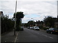

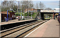
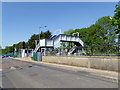
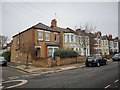
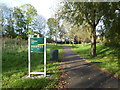
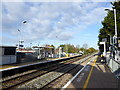

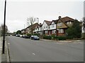
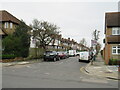
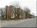
48 photos from this area
Area Information
Key information about the W7 1QE including its size, population, and administrative classification.
- Area Type
- Postcode
- Area Size
- Not available
- Population
- 1578
- Population Density
- 10534 people/km²
House Prices in W7 1QE
32
Properties
£170,700
Average Sold Price
£130,000
Lowest Price
£201,500
Highest Price
Showing 32 properties
| Address | Type | Beds | Baths | Last Sale Price | Last Sale Date | |
|---|---|---|---|---|---|---|
| 264, Paddington Court, Copley Close, Hanwell, W7 1QE | Flat | - | - | £200,000 | Mar 2018 | |
| 265, Paddington Court, Copley Close, Hanwell, W7 1QE | Flat | 1 | 1 | £201,500 | Jul 2016 | |
| 258, Paddington Court, Copley Close, Hanwell, W7 1QE | Flat | - | - | £180,000 | Oct 2007 | |
| 257, Paddington Court, Copley Close, Hanwell, W7 1QE | Flat | - | - | £142,000 | Aug 2004 | |
| 242, Monmouth Court, Copley Close, Hanwell, W7 1QE | Flat | - | - | £130,000 | Oct 2003 | |
| 249, Oxford Court, Copley Close, Hanwell, W7 1QE | Flat | - | - | - | - | |
| 250, Oxford Court, Copley Close, Hanwell, W7 1QE | Flat | - | - | - | - | |
| 263, Paddington Court, Copley Close, Hanwell, W7 1QE | Flat | - | - | - | - | |
| 270, Pembroke Court, Copley Close, Hanwell, W7 1QE | Flat | - | - | - | - | |
| 251, Oxford Court, Copley Close, Hanwell, W7 1QE | Flat | - | - | - | - |
Page 1 of 4
Energy Efficiency in W7 1QE
Amenities
Schools
| Rank | School | Type | Entry gender | Ages |
|---|
Explore more schools in this area
Go to Schools tabDemographics
Household Size
Family (3-5 people)
most common
Accommodation Type
Flats
most common
Tenure
21
majority
Ethnic Group
black_total
most common
Religion
N/A
most common
Household Composition
N/A
most common
Age
47
median
Adults (30-64 years)
most common
Household Deprivation
N/A
with no deprivation
NS-SEC
21
in Lower managerial occupations
Explore more demographic insights in this area
Go to Demographics tabPlanning
Planning Constraints
- Flood RiskPremium
- Ramsar Wetland SitesPremium
- Area of Outstanding Natural BeautyPremium
- Protected Nature ReservePremium
- Protected WoodlandPremium