Area Overview for W7 1AW
Photos of W7 1AW
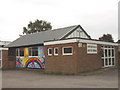
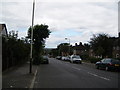

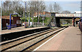
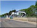
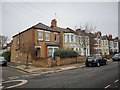
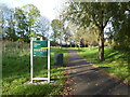
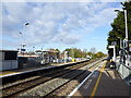
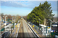
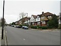
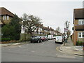
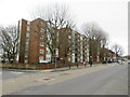
48 photos from this area
Area Information
Key information about the W7 1AW including its size, population, and administrative classification.
- Area Type
- Postcode
- Area Size
- 7731 m²
- Population
- 1619
- Population Density
- 10772 people/km²
House Prices in W7 1AW
40
Properties
£300,875
Average Sold Price
£121,000
Lowest Price
£535,000
Highest Price
Showing 40 properties
| Address | Type | Beds | Baths | Last Sale Price | Last Sale Date | |
|---|---|---|---|---|---|---|
| 5 Upfield Road, Hanwell, W7 1AW | Terraced | 2 | 1 | £500,000 | Jan 2024 | |
| 3 Upfield Road, Hanwell, W7 1AW | Terraced | 2 | 1 | £480,000 | Apr 2023 | |
| 43 Upfield Road, Hanwell, W7 1AW | Terraced | 3 | - | £535,000 | Sep 2020 | |
| 19 Upfield Road, Hanwell, W7 1AW | Terraced | 3 | - | £485,000 | Jun 2018 | |
| 27 Upfield Road, Hanwell, W7 1AW | Terraced | 2 | 1 | £435,000 | Mar 2017 | |
| 33 Upfield Road, Hanwell, W7 1AW | house | - | - | £372,500 | Aug 2014 | |
| 75 Upfield Road, Hanwell, W7 1AW | Terraced | 3 | 1 | £250,000 | Jan 2011 | |
| 37 Upfield Road, Hanwell, W7 1AW | Terraced | 2 | 1 | £242,500 | Oct 2009 | |
| 45 Upfield Road, Hanwell, W7 1AW | Terraced | - | - | £280,000 | May 2007 | |
| 69 Upfield Road, Hanwell, W7 1AW | Terraced | - | - | £207,000 | Mar 2006 |
Page 1 of 4
Energy Efficiency in W7 1AW
Amenities
Schools
| Rank | School | Type | Entry gender | Ages |
|---|
Explore more schools in this area
Go to Schools tabDemographics
Household Size
Family (3-5 people)
most common
Accommodation Type
Houses
most common
Tenure
42
majority
Ethnic Group
White
most common
Religion
N/A
most common
Household Composition
N/A
most common
Age
47
median
Adults (30-64 years)
most common
Household Deprivation
N/A
with no deprivation
NS-SEC
25
in Lower managerial occupations
Explore more demographic insights in this area
Go to Demographics tabPlanning
Planning Constraints
- Flood RiskPremium
- Ramsar Wetland SitesPremium
- Area of Outstanding Natural BeautyPremium
- Protected Nature ReservePremium
- Protected WoodlandPremium