Area Overview for W6 9ST
Photos of W6 9ST
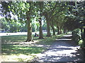
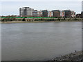
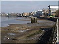
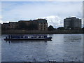
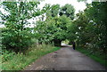
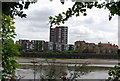
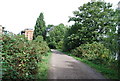
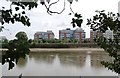
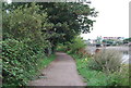
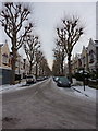
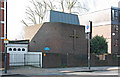
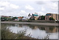
100 photos from this area
Area Information
Key information about the W6 9ST including its size, population, and administrative classification.
- Area Type
- Postcode
- Area Size
- 6283 m²
- Population
- 1551
- Population Density
- 15827 people/km²
House Prices in W6 9ST
44
Properties
£982,793
Average Sold Price
£130,000
Lowest Price
£1,825,000
Highest Price
Showing 44 properties
| Address | Type | Beds | Baths | Last Sale Price | Last Sale Date | |
|---|---|---|---|---|---|---|
| 8 Petley Road, London, W6 9ST | Detached | 4 | 2 | £1,300,000 | Mar 2023 | |
| 56 Petley Road, London, W6 9ST | Terraced | 3 | 1 | £1,195,000 | Nov 2022 | |
| 16 Petley Road, London, W6 9ST | Retail | 4 | 2 | £1,271,950 | Oct 2022 | |
| 72 Petley Road, London, W6 9ST | Maisonette | 2 | 2 | £1,050,000 | Jun 2022 | |
| 30 Petley Road, London, W6 9ST | Terraced | 3 | 1 | £1,825,000 | Jul 2021 | |
| 24 Petley Road, London, W6 9ST | Terraced | 4 | 3 | £1,480,000 | Nov 2020 | |
| 28 Petley Road, London, W6 9ST | house | - | - | £1,410,000 | Sep 2020 | |
| 38 Petley Road, London, W6 9ST | house | 4 | 3 | £1,440,000 | Jul 2018 | |
| 48 Petley Road, London, W6 9ST | Terraced | 4 | 2 | £1,275,000 | Jan 2017 | |
| 10 Petley Road, London, W6 9ST | Terraced | 2 | 2 | £1,375,000 | May 2016 |
Page 1 of 5
Energy Efficiency in W6 9ST
Amenities
Schools
| Rank | School | Type | Entry gender | Ages |
|---|
Explore more schools in this area
Go to Schools tabDemographics
Household Size
Family (3-5 people)
most common
Accommodation Type
Houses
most common
Tenure
56
majority
Ethnic Group
White
most common
Religion
N/A
most common
Household Composition
N/A
most common
Age
47
median
Adults (30-64 years)
most common
Household Deprivation
N/A
with no deprivation
NS-SEC
52
in Lower managerial occupations
Explore more demographic insights in this area
Go to Demographics tabPlanning
Planning Constraints
- Flood RiskPremium
- Ramsar Wetland SitesPremium
- Area of Outstanding Natural BeautyPremium
- Protected Nature ReservePremium
- Protected WoodlandPremium